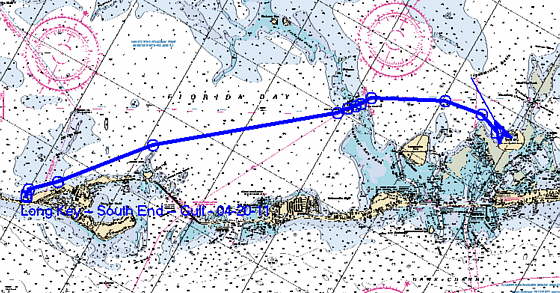
...........................................................--- Long Key To Shell Key---
...............................................................--- April 22 to 24, 2011 ---
Nights Anchorage: 024o 55.443' N -- 080o 40.253' W -- Shell KeyTrip Odometer: 357.5 miles
Days Mileage...: 15.9 miles
NOTE: I mentioned the following on the preceding page but feel that it needs repeating.
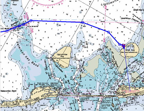
One thing to be aware of is that as you work up the ICW north from Marathon there will be a number of very shallow banks that you will cross. They are usually about 90 degrees to the ICW with respect to how they trend. There will be numerous cuts through these banks that are marked. So be careful to stay on the the ICW when you are crossing a bank even if you can sail off the ICW other places before or after the cut.
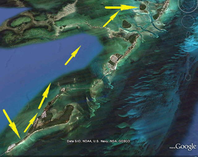
Our next stop would be about 16 miles up the keys past Long Key at Shell Key. From Shell Key south to Marathon and a little past there the protection options for winds from the west are not great. If the wind would of been bad at Long Key we would of gone past it and then under the Channel 5 Bridge to the Atlantic side and anchored to the east of Long Key.
From Shell Key north on the Gulf side your selection of anchorage's that will work with different wind directions increase.
........
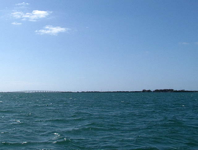
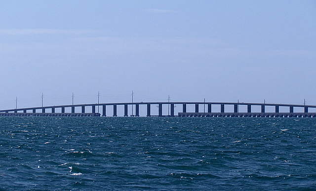
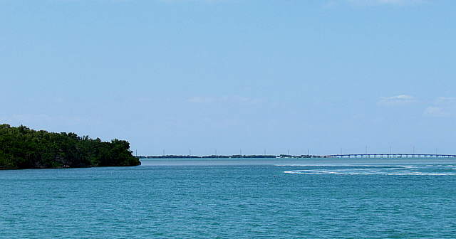
As we left the anchorage at Long Key we stayed in closer to shore for a bit to avoid shallow water between us and the ICW. Once past it we turned out and started following the ICW north. It wasn't long before the Channel 5 Bridge came into view and ...
........
.... we passed it and continued north ....
........
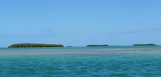
....past the islands and shallow water above. We really like it from here north with numerous small islands to the west and not just open water there. As you can also see pay attention to the chart and your depth finder as there are numerous shallow banks also.
........
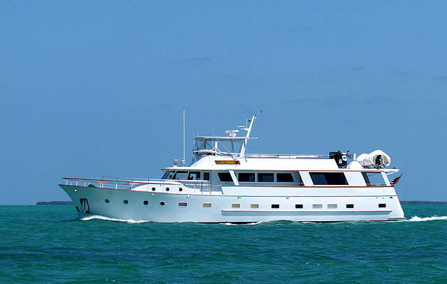
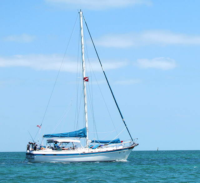
Even with the shallow water you will see numerous larger boats on the ICW. I've read of boats with over 5 foot drafts going north and south, but I'd feel more comfortable with a boat with 5 foot or less of draft. Our Mac's draft with the board down is 6 feet, but we usually don't have it down more than about half way motoring so our draft like that is about 4 feet. We never touched bottom on this part of the trip.
........
There were a fail amount of boats on the ICW, some under power and some under power and sail depending on the wind, but most were motoring. There are large areas where you could sail though if you had the time.
........
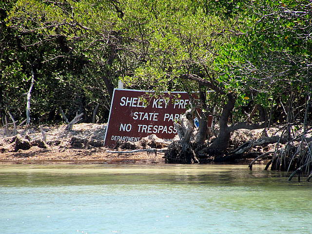
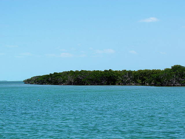
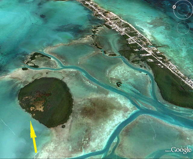
We made it to Shell Key with no problems and anchored off shore there. Again not as close as the picture above implies.
........
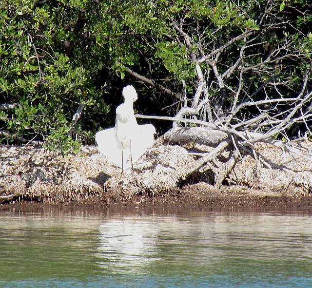
This guy on shore was either showing off or just cooling down.
........
We were anchored out quite a ways for the Keys Highway here and it was one of the few places we didn't have WiFi, but that was ok as we really liked it here and spent a couple days on this anchorage.
........
Video of Shell Key anchorage ... (click HERE for video)
........
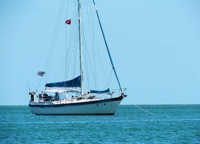
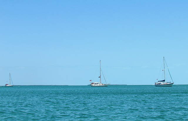
A couple boats, some who we saw on the ICW, shared....
........
...this anchorage with us but it wasn't crowded in any way. The zoom on the camera...
........
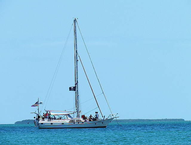
... did bring a couple of the nearby boats closer to us if we wanted.
........
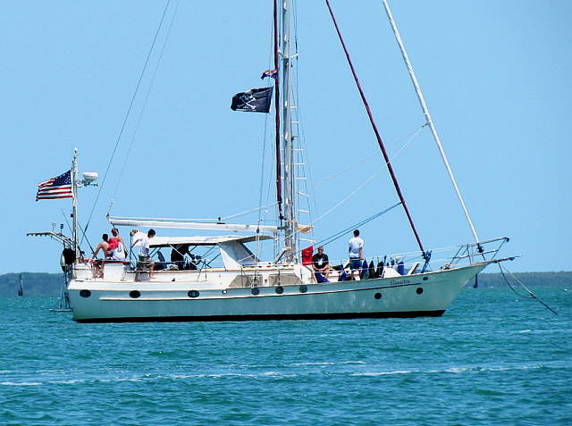
Three of the boats on the anchorage had fairly large young crews and we had a feeling that this was some sort of sailing camp or something like that.
........
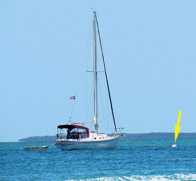
There also were some mooring balls further out from shore than were we were. I'm not use what using them involved. We have good anchoring gear that hasn't let us down, so prefer to anchor anyway, but the balls might be an option for others.
........
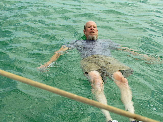
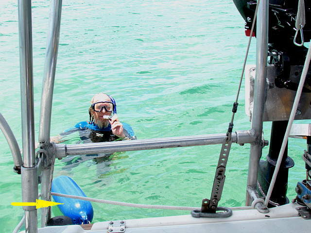
I got into the water here a fair amount and really enjoyed it. I need 80+ deg. water and the water must of been all of that as it was great. For a video of me trying to remember how to dive ... (click HERE for video). Keep in mind my age, 67 at the time and go easy on me.
........
Another great day coming to an end in the Keys.
........
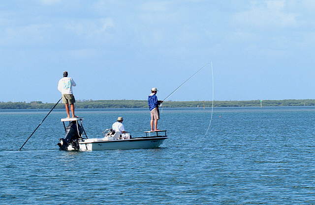
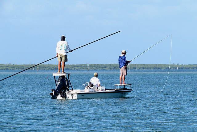
We never tried fishing on the trip, but did see....
........
... others enjoying the opportunity.
........
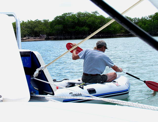
Not sure where I was going above, but not to shore. I've found that the easiest way to move around over short distances with the Zodiac is using a kayak paddle sitting at the bow. If I go any distance I fire up the Tohatsu 3 1/2 HP.
........
Enjoying the clear warm water some more. We do have a full wet suit aboard and a top aboard for me just in case I have to dive on the boat and if the water was colder like the time the rode got entangled in underwater growth on Lake Powell.
........
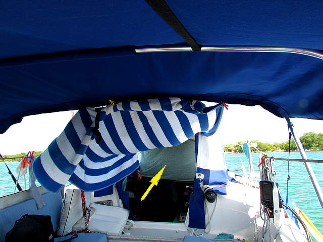
The days were getting warmer, but not super hot. We used a beach towel between the bimini and the pop-top to block sun from getting into the cabin and found that if we put the towel where the arrow is across the pop-top, side to side, a short ways in and ....
........
...open the front of the pop-top so that the wind blew in easier, not having to go through the screen, that the air would enter and get to the towel where the towel would deflect it down into the cabin where we were sitting. This worked great since on anchor the wind always came in from the bow. It worked so well that at the end of the day we closed it up and took the towel down as it got chilly.
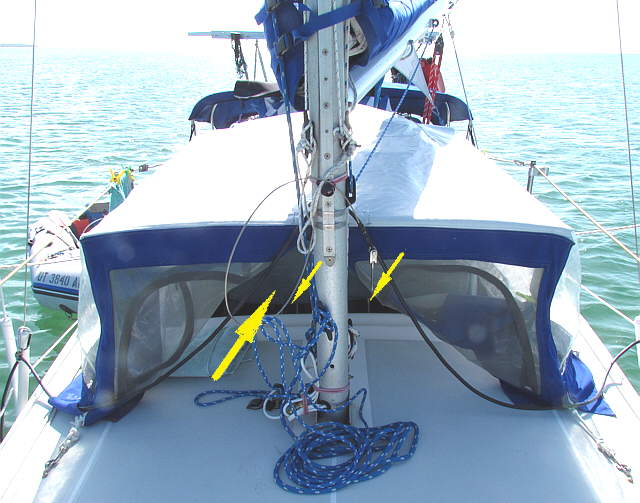
Also of note is that we had no bug problems on the trip. The bugs that were out at night, if any were kept at bay with the screening. We never did use the full cockpit bug enclosure that we spent so much time making.
........
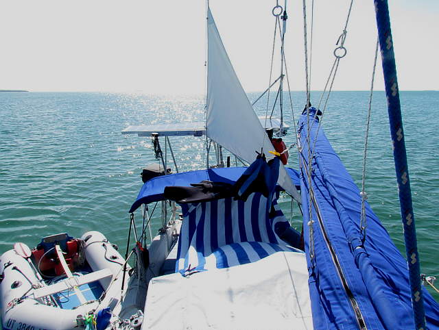
Another view of daytime on the hook.
........
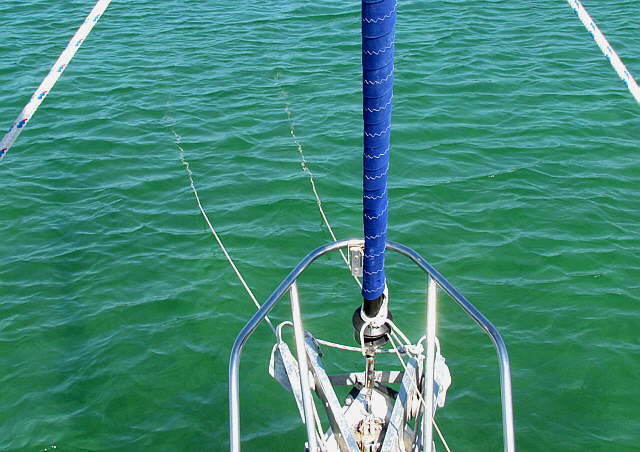
Some times we put down 2 anchors just for the hell of it I think. We got to where we could put down two or retrieve two in about 10 minutes. Here we weren't anticipating any major winds and the two anchors are fairly close together. In higher winds they would be about 60 degrees apart and if we anticipated a wind shift that might swing us towards shallow water near shore we might put down 2 on a Bahamian Moor with one out in deep water.
If the winds are from the right direction this is a great anchorage and we hope to return to it with the Endeavour.
