....................................--- Shell Key to Tavernier Creek ---
............................................................--- April 25 to 26, 2011 ---
Nights Anchorage: 025o 00.371' N -- 080o 32.588' W -- Travernier CreekTrip Odometer: 372.6 miles
Days Mileage...: 15.1 miles
The next leg of the trip took us about 15 miles north to Tavernier Creek and another great spot. We got lazy and sailed when we could on the way from one anchorage to the next, but motored a lot as the winds were just off the bow most of the time. We could of left some of these anchorage's for the day and day sailed near them, but we just enjoyed kicking back so much that we didn't. It is amazing how fast the day goes by doing nothing much once you learn how!!
........
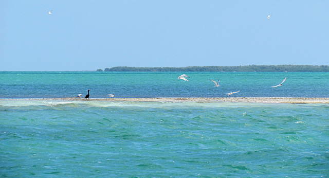
More shallow water close......
........
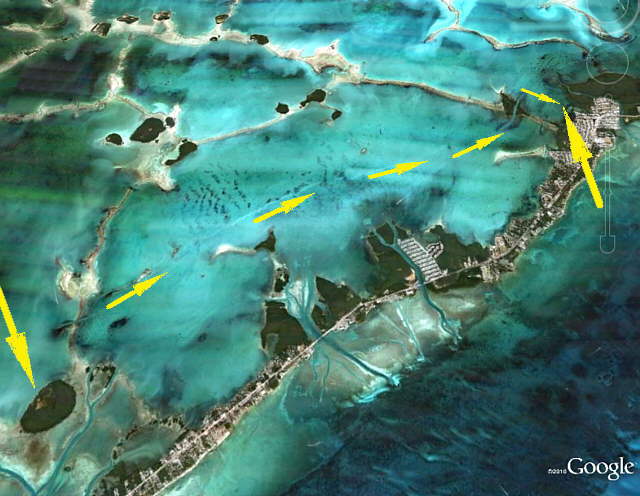
.... to the ICW with more and more Islands to the west. The ICW is pretty much the boundary of Everglades National Park to the west and north and the Keys Sanctuary to the east of it.
........
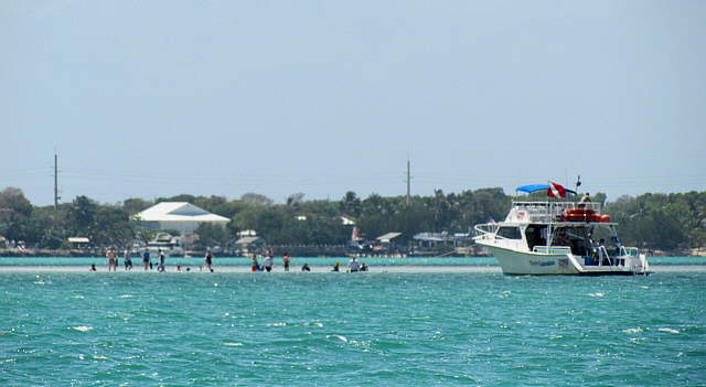
Here a tourist boat, I assume, had dropped its passengers on a shallow bank well offshore of Plantation Key in the background.
........
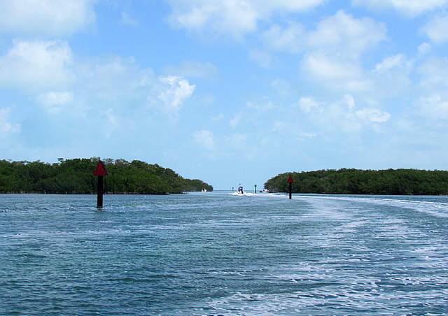
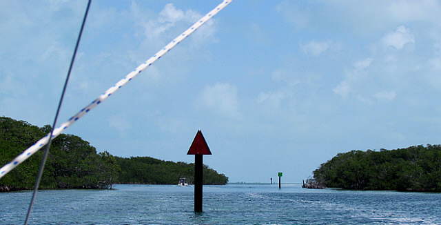
Before this the ICW cut through some shallow banks, but there wasn't really islands on the sides of the cuts.
........
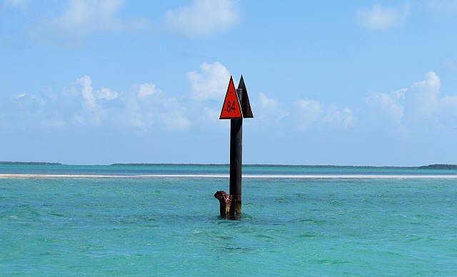
Now though that wasn't still the case. You would pickup the markers at the entrance to the cuts and...
........
... follow them through the cuts and out the other side. We really liked the way these cuts broke up each days travels and the water was so crystal clear that you could see the bottoms in them and often some pretty colored fish swimming below the surface.
........
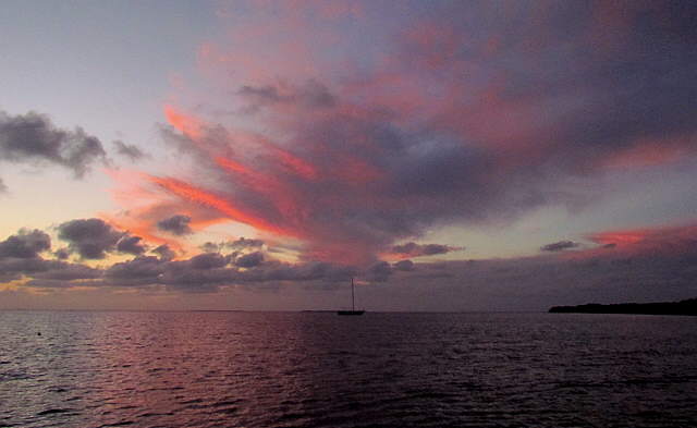
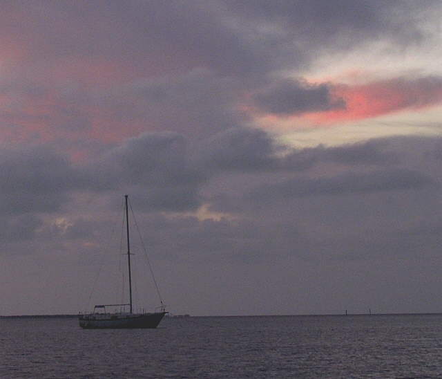
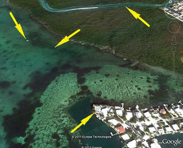
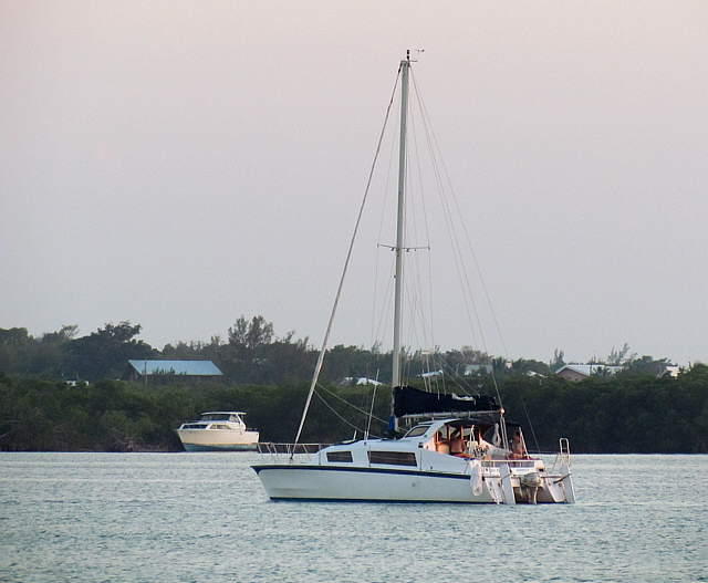
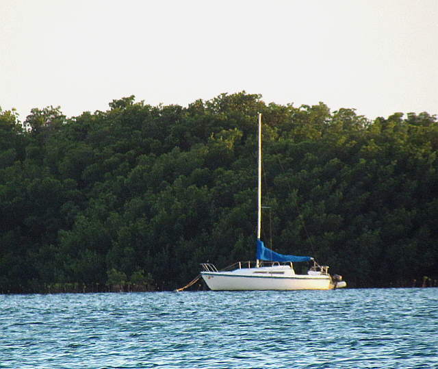
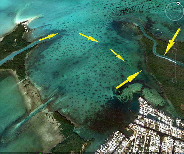
We again found an anchorage off Plantation Key with Tavernier Creek nearby running through the peninsula off to the right. Here we found ourselves alone except ........
........
....... for the lone unattended boat to our west.
........
The day came to a rather undramatic but peaceful end out on a nice anchorage all alone. We can't see why more people don't enjoy this type of cruising. Spend a couple nights worth of marina slip money and buy some good anchoring gear and get use to using it and relax away from all of the noise and commotion.
........
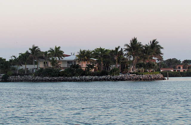
There were some houses about 1/3 of a mile away (zoom shot above) that were probably providing the WiFi at this location.
........
Above the top right arrow is Tavernier Creek and the left arrow is the unattended sailboat. Our anchorage was the arrow between the sailboat and the houses, bottom arrow.
........
The boats above....
........
and this other MacGregor 26D were about 1/2 mile away on the other side of the bay near the Keys Highway.
........
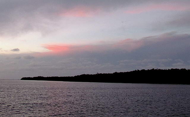
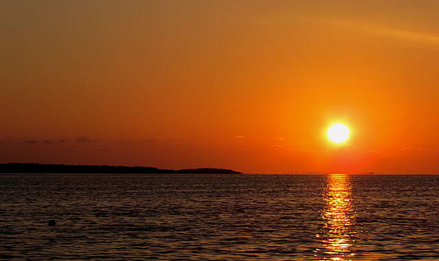
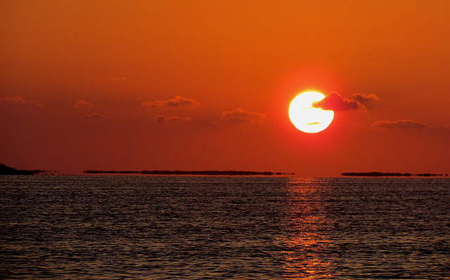
Once again we weren't disappointed by another great..
........
..... Florida sunset.
........
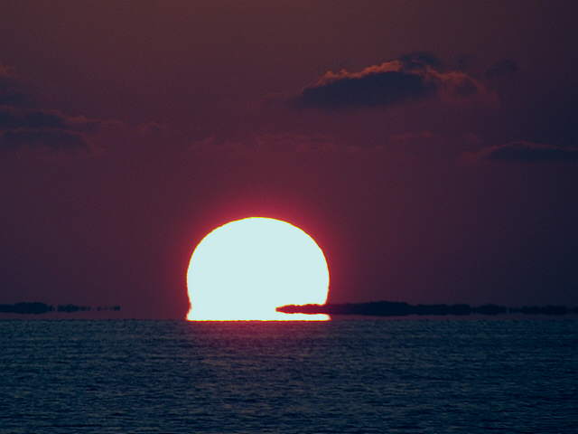
The Gulf drinks the sun in at the end of yet another great day out on the water.