....................--- Russell Pass To Everglades City ---
.......................................--- April 3 to 5, 2011 ---
Nights Anchorage: 025o 51.497' N -- 081o 23.277' W -- Everglades CityTrip Odometer: 193.0 miles
Days Mileage...: 8.8 miles
One negative to anchoring on two anchors with the Bahamian Moor is that the boat can swing around and the anchor rodes get tangled around each other. I talked about the fix for that on the fall trip ( HERE ). On this anchorage I figured out an easier way to unwrap the lines instead of what I was doing. I usually have the dinghy pulled up on the starboard side at night. Well it finally dawned on me to just start her up and pull the boat around in a circle and untangle the lines. Just took a second and worked fine.
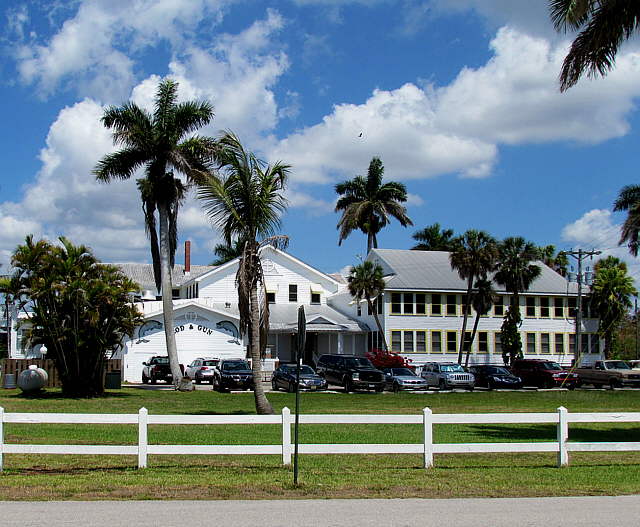
So it is Sunday morning and after a call to the Rod and Gun Club to confirm we had a place to dock the boat for a couple days we were off back down Russell Pass to Indian Key Pass.
........
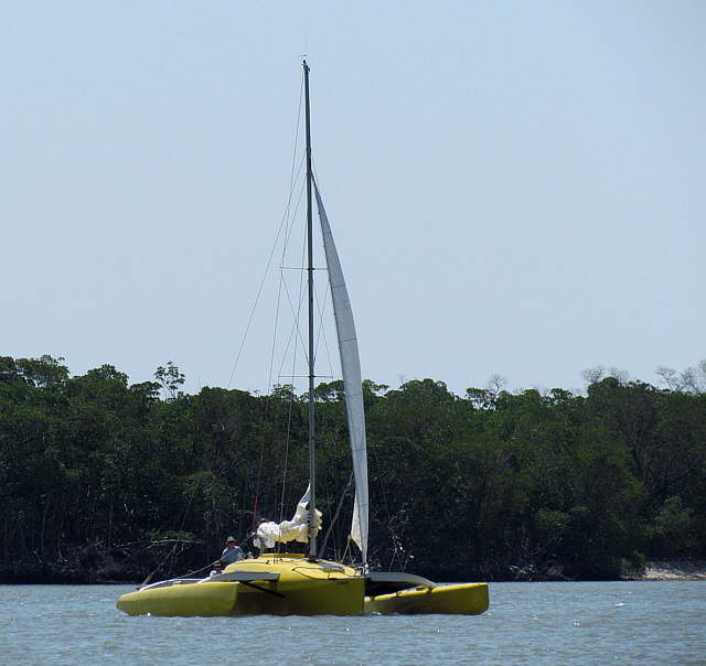
Down by the confluence this cool trimaran appeared and passed us and started....
........
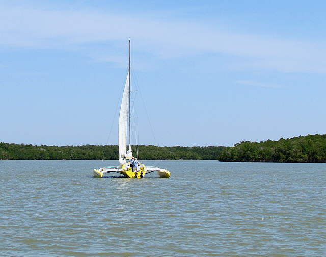
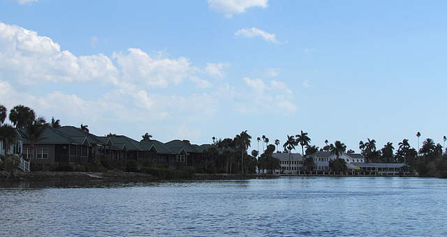
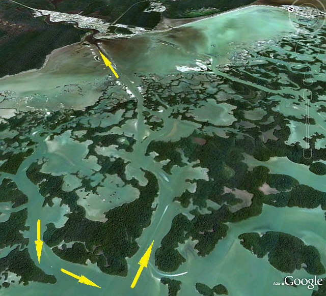
... heading up into Russell Pass. We still don't feel conformable sailing in these narrow channels, so motored on and turned the ....
........
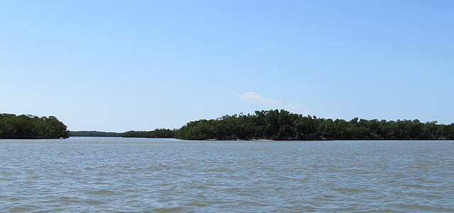
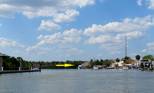
.... corner and headed up the channel, left side of picture, towards Everglades City. It looks like a lot of water and we sailed only in narrower water while on Lake Powell, but there it was deep from shore to shore. Here there is a lot of water everywhere, but the.....
........
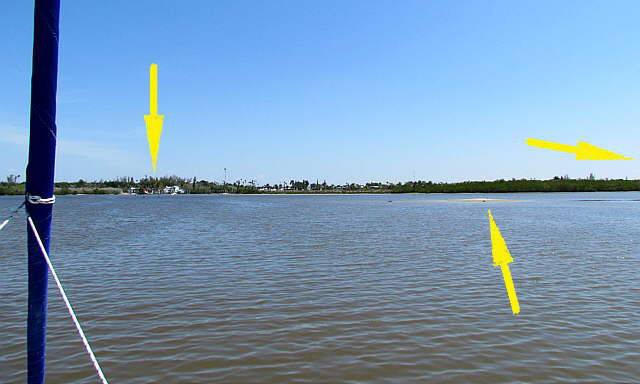
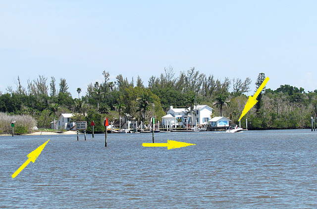
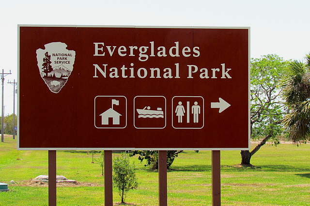
... depth outside the channel can be quite shallow, lower right arrow. Here we have wound our way up Indian Key Pass and Everglades City is coming into view, left arrow. The Everglades Park Headquarters are off to the right, right arrow, and out of sight here.
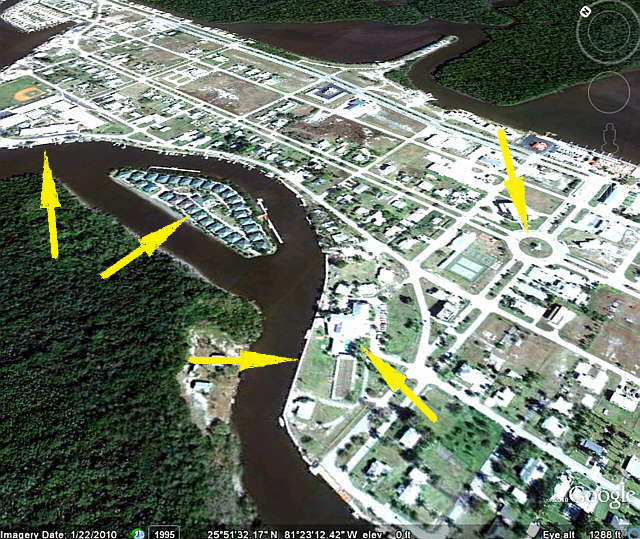
The channel up the Barron River into Everglades city is over at the left arrow and the ....
........
... channel markers are a little confusing here. To go on to Everglades City you make your way between the green/red markers to the left, left arrow, and then head up in where the powerboat is going, top right arrow.
You can also here make a sharp turn to starboard and go through the green/red markers, bottom middle arrow, and head over to the park headquarters. We didn't do that. Lots of shallow water in this area. Be careful.
........
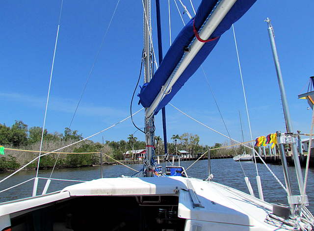
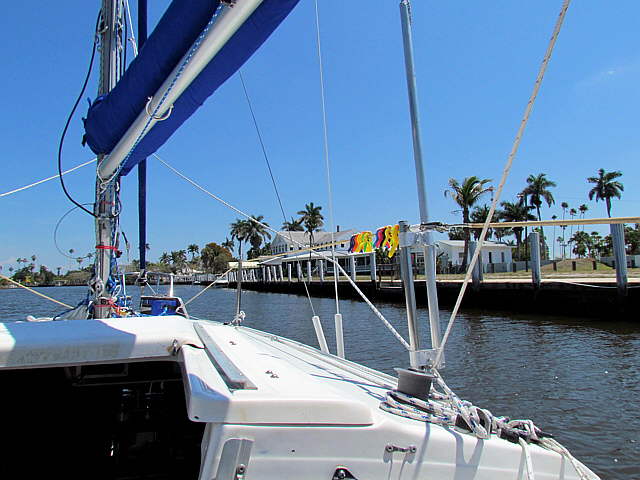
The channel twists and turns, but soon you are about ready to make the last turn to starboard if ...
........
... your destination is the Rod and Gun Club, which is off the starboard side of the Kera Jane above. There is another Marina/RV Park at the end of the channel where the Barron River goes under the highway. I called there and we could of stayed there, but we wanted to stay at the Rod and Gun Club. It took us about 1 1/2 hours to move from Russell Pass to here.
........
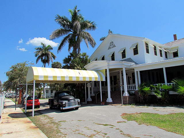
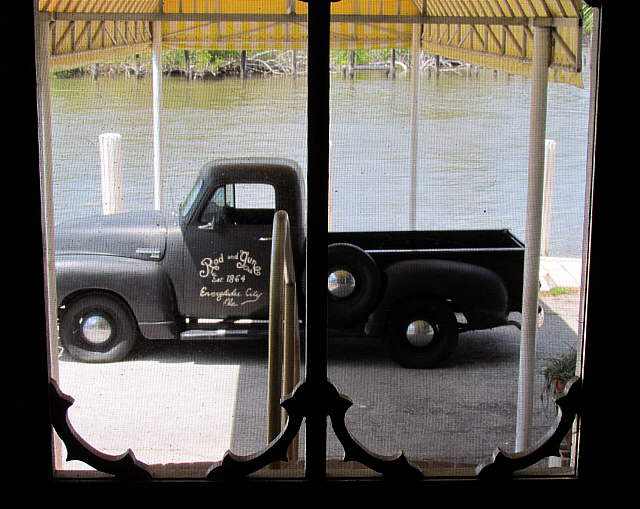
After tying up the boat we walked on down and admired the old Chevy pickup that is the same basic body as my streetrod '48 GMC. Once we had given the Chevy a good look we turned and ...
........
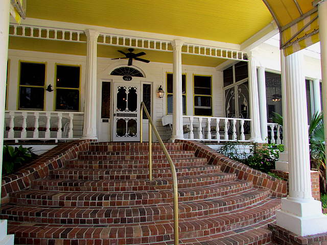
... went up the steps on the river side of the Rod and Gun Club and ....
........
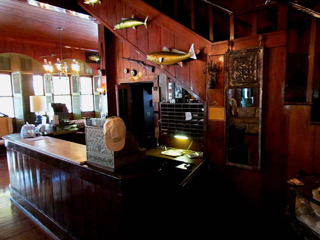
... inside, where we found the ...
........
.... check-in counter. They gave us a 3 day rate for $100 total for the 3 days. This also included shower/bath privileges at the end of the restaurant wing acess via an outside door there. We decided ...
........
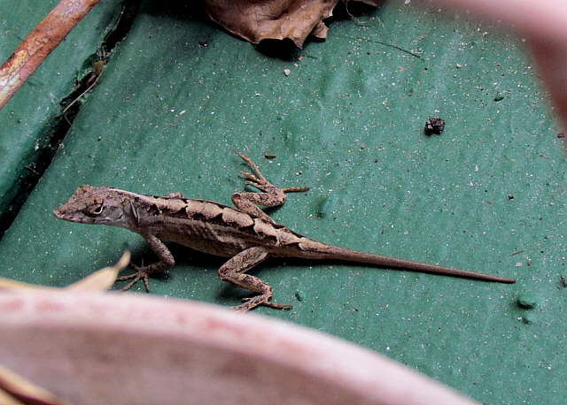
... to have lunch there and were joined by this fellow who must of decided that lunch ....
........
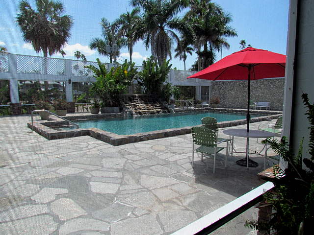
... after a swim would be nice. I forgot to ask if we could of used the pool, but believe that we could of. They don't use the rooms in the hotel anymore, but do have cabins on the grounds and the pool was being used later in the day by those guests.
...............
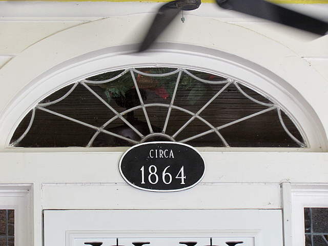
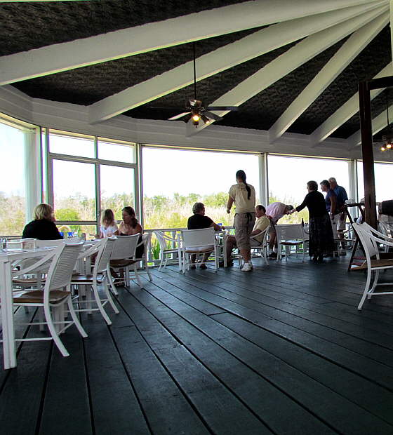
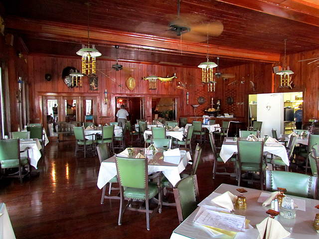
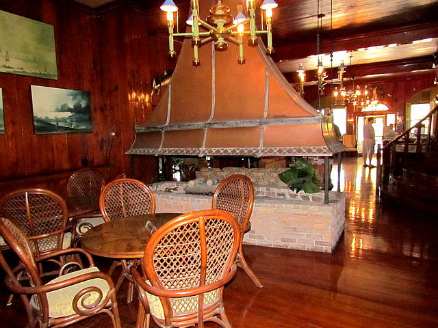
The building is quite unique and the dining area is out on a wing that has been added to the main building at some point. You can walk through the rest of the Rod and Gun Club and it is like a ....
........
... museum. I'm not sure if this room is ever used or is just for looks.
........
In the lobby where you register you can look back out on the Chevy or ....
........
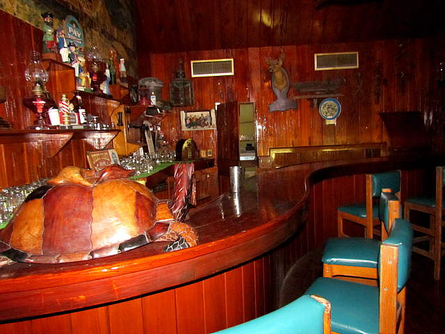
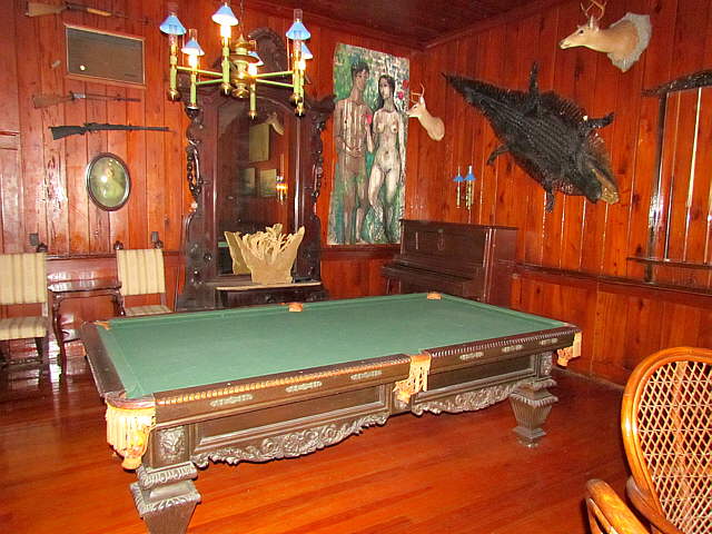
... turn to the right and look in on the bar or opposite that is the ....
........
... pool room and...
........
... more. Lunch was ok, not great and probably not worth $60.00, but overall worth it and we liked seeing the building. If you go to Everglades City make sure you stop even if you don't eat.
........
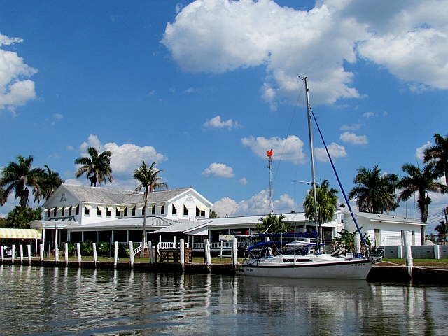
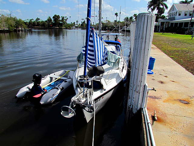
If you overnight here the bath/shower is just out of sight on the end of the building to the right in the picture.
........
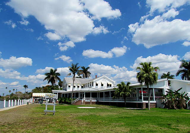
Here is the view from the road in front, and a final and ....
........
.... last view with the boat tied up and in this picture you can see the bath/shower door at the end of the building.
........
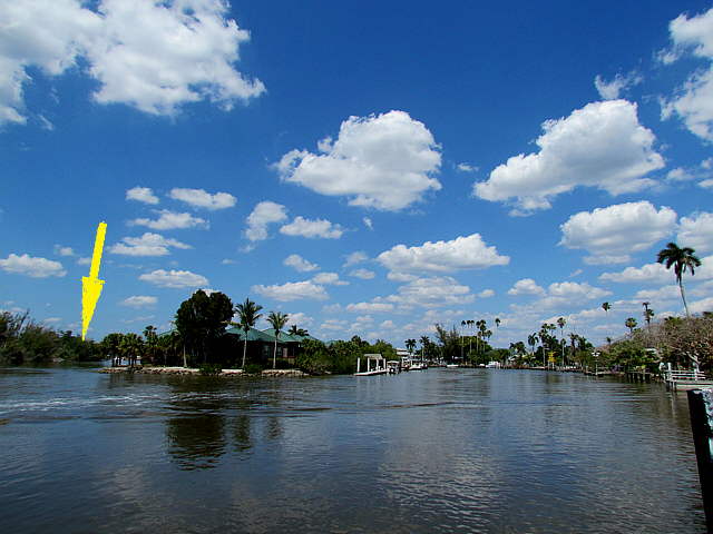
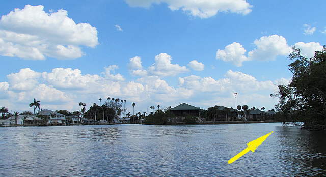
The Barron River's main channel heads upstream to the left of the island in the middle of the picture that has a number of homes on it.
........
You will find some docks on the other side of the island that are used to access the island as there is no other way to reach it.
........
The end of the island is to the left and the main channel continues off to the right up where the arrow is.
........
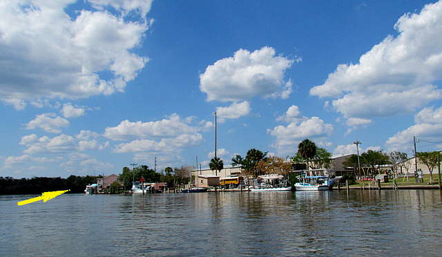
A view back down river with the main channel to the right of the island, arrow.
........
Again the main channel on up to the Marina/RV park is where the arrow is. I took these pictures from the dinghy and had considered going up to the other marina for some fuel, but felt since we had filled the inboard 19 gallon tank at Marco Island we were good to go and could make Marathon down in the Keys even if we motored all of the way.
........
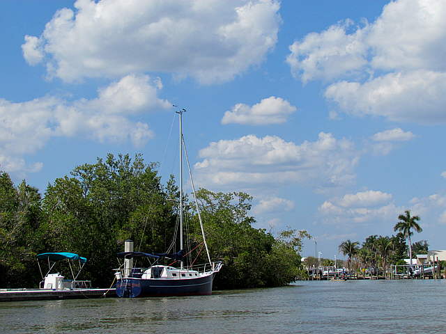
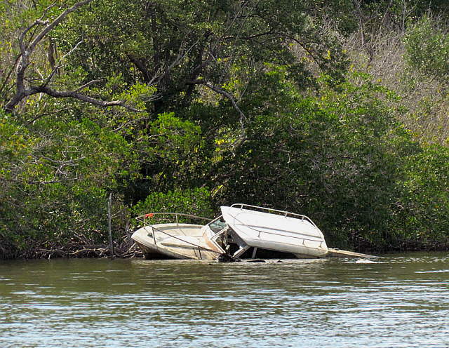
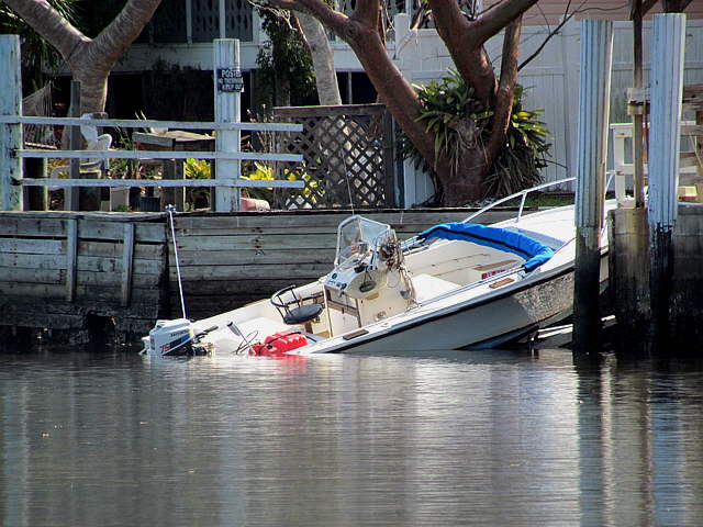
Off on the side of the channel was this derelict boat, a not uncommon site in Florida.
........
After turning around I head back down to the Rod and Gun Club past the houses on the island. They looked to be seasonal homes.
........
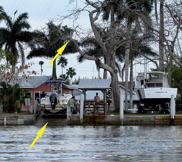
Just to the left of the Rod and Gun Club, viewing from the water, is this ramp. I didn't inquire as to the cost to use it. One negative that a friend pointed out to me that has used it was the tree limb out over the ramp. That requires stepping the mast on the water. I talked to him on the phone on the trip and he inquired if the limb was still there and as of our trip it was.
........
A day or so later another group of guys tried launching there with disastrous results. They had a hell-of-a-time getting the boat back out as the tow vehicle just spun the tires. I think they also might of fried the transmission. An expensive non-launch.
........
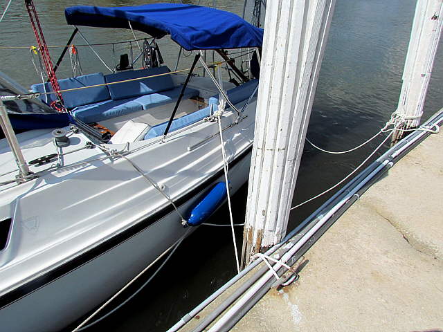
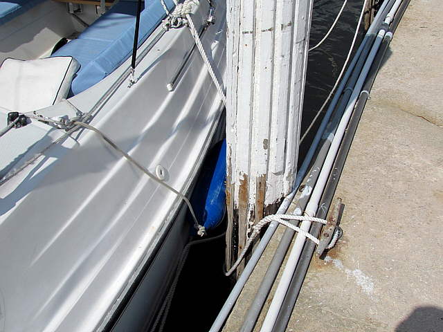
This was the first time we were tied up on the trip and only the third time we had ever had the boat tied up overnight anywhere. We had always been on the anchor. Also this time we had to deal with tides and currents. I read about spring lines and used them with pretty good success and our only problem was that our fenders...
........
... were really too small/short. Later on the trip we bought some pieces of PVC pipe and I rigged them to go between 2 fenders with 2 sets. I'd seen that somewhere and I think they would of worked great, but we never tied up to a dock overnight again on the trip.
The tides were about 3 feet here and the current was very strong at times. Here is a video I shot with the tide coming in. The river actually flows in the opposite direction. Also note that the tide is about in as it is about as high as it gets, so it is going slack and actually flows somewhat faster than this earlier in the tide event.
http://www.youtube.com/watch?v=uuMYSQuJnIo
Also each morning the large working boats would go by just a few feet away around 4 am. There are speed restrictions on the channel, but it looked like only about half of them obeyed them. We woke up the first 2 mornings when they passed as the boat really rocked and ground on the pilings. The last morning we slept through them.
........
We had some pretty bad lightning a couple nights here, the worst of the trip and rain. Some items got wet and Ruth wasn't too happy about me airing our laundry in view of the screened in restaurant, but I'm a guy and didn't mind. Notice also that we are tied with the port side of the boat against the seawall. The side where there isn't as much stuff sticking out past the rub-rail. We didn't hit anything here.
........
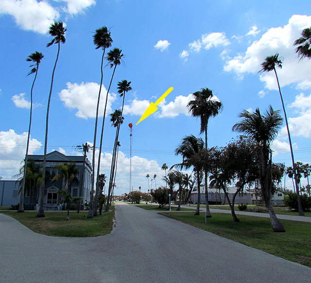
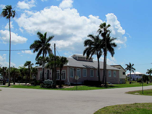
Now for a trip around the town which we took on Monday the day after arriving. Leaving the Rod and Gun Club you go past a closed bank left and head down to the traffic circle with the communications tower ....
........
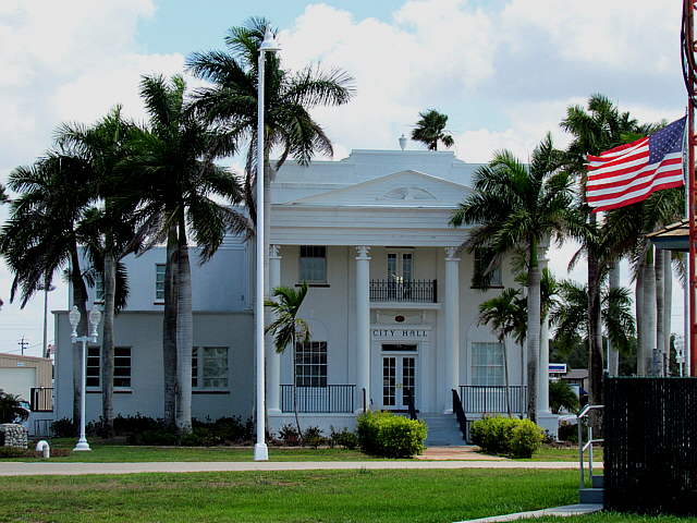
.... in the middle. Everglades City is spread out all over the place with a few main....
........
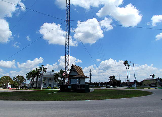
.... buildings near the circle ....
........
... or on ...
........
... the circle.
.........................
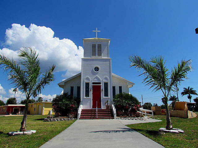
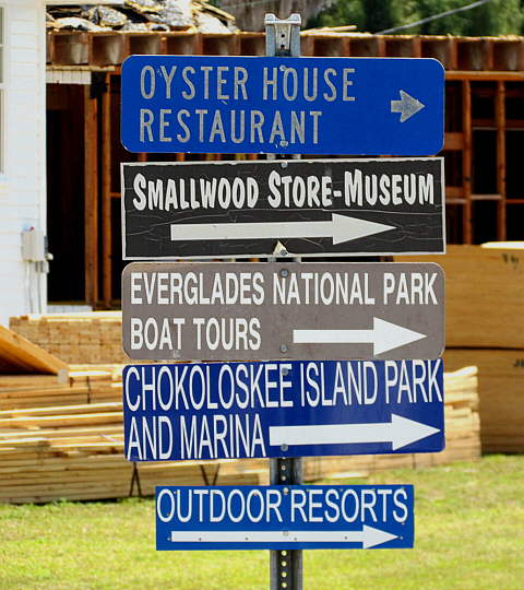
Also you make a right turn and head down to the park headquarters or on to Chokoloskee at the end of the road. I don't know if there was a cab service or not. We walked to the circle and then down...
........
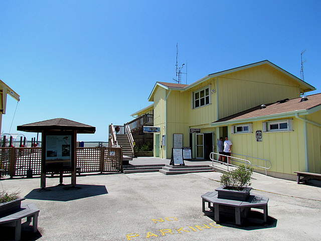
... about .8 of a mile to the park headquarters that are just a short ways off....
........
... the main road. They have some nice interpretive displays upstairs and ...
........
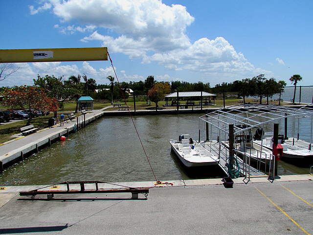
... a docking area down on the water. I didn't ask about who could use it.
........
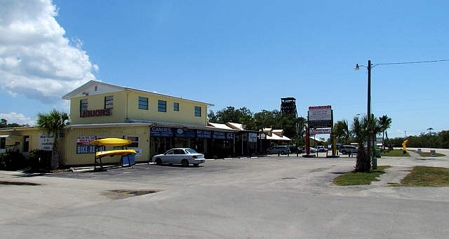
Across the street are some business and a restaurant that gets good reviews. At this point I'm not going to mention the name of the restaurant due to what transpired later in the evening as I can't say for 100% that it was a result of our meal there.
Anyway after eating where I had a wider variety of and different food than Ruth we walked back up to the boat.
We settled in for the night and I felt fine. Then about 8:30 p.m. I started to not feel fine. Then by 9:30 I felt terrible. I got super hot and then would have really bad chills then threw up explosively without much control while laying on my side. For only the third or fourth time in my life I felt that I might actually die. The other times were non-health related, but situation related. I couldn't keep a clear head, had a hard time controlling my breathing at times and was having a hard time not passing out. I felt that if I passed out I might not come too. I didn't know what to tell Ruth to do. We knew there were no doctors here from checking a few days earlier for Ruth. I thought if we call 911 on the cell could health workers find us and if so could I stand being moved. I was up in the V-berth one minute freezing and totally cover and then terribly hot with no covers. Back and forth I would go and I threw up another time or two.
I really worried for Ruth's sake. She was doing the best she could to help me, but there wasn't much she could do. Finally I passed out, awoke and then finally slept. It was not a good situation. I still don't know if it was something from the restaurant or something we had on the boat, but the restaurant was the only place we ate something different and I had a seafood smorgasbord and Ruth kept it simpler. If it was something from the restaurant I'm sure it isn't a normal situation as they are in the guide books and are praised highly. I'd eat there again, but I was very reluctant to eat any seafood for the rest of this trip.
Tuesday came and I was still alive but very weak. At least I knew I wasn't going to die. I was 67 on this trip and I started to realize how older people can die easier from the flu and such. We spent Tuesday just trying to get my strength back and at the end of the day I managed to walk over to the circle with Ruth for some groceries. We had paid to be tied to the seawall thru the night and decided to wait until morning to see if we were moving on or not.
The storms had passed and the weather reports I'd gotten off of the Internet via our long range WiFi indicated a good window opportunity for us to get down the west coast to Little Shark River and on to Marathon in the Keys. We wanted to take advantage of that.
We packed up and I plotted the next leg of the trip with a couple variations with the computer chartplotter and downloaded the waypoints for the first choice into the handheld GPS we use in the cockpit and we went to bed hoping to leave in the morning.