....--- On to Russell Pass Near Everglades City ---
.............................--- March 29 to April 2, 2011 ---
Nights Anchorage: 025o 50.315' N -- 081o 26.165' W -- Russell PassTrip Odometer: 184.2 miles
Days Mileage...: 13.2 miles
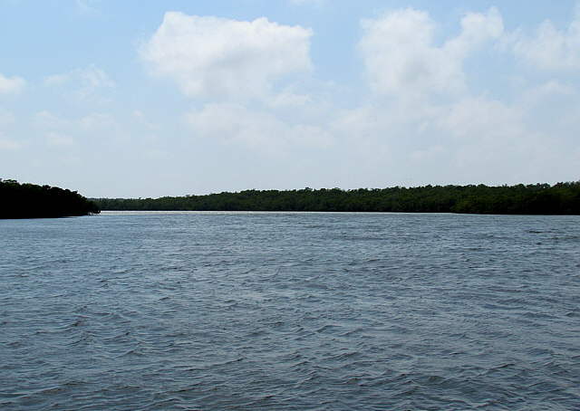
We left the small bay behind Whitehorse about 9:30 in the morning and as soon as we were out of the cut and into the Gulf we experienced the roughest water of the trip. Not real frightening, just something that we needed to experience and get use to.
They were predicting 2 foot seas with about a 3 second interval. That is pretty choppy in a small boat. I also did some research on wave height and how to interpret wave height predictions. I was surprised to find out that probably at least 1 wave out of 1000 could be twice the predicted height and a greater number that would be 1 1/2 times the predicted height and of course waves less than the predicted height. So 2 foot waves might mean that we would see 3 footers and maybe an occasional 4 footer which seemed to hold true over the course of the trip.
Also it is just the height to worry about, but also the interval. When the height and interval are close to each other they say you can have dangerous waves that could possibly roll a boat. So 4 foot waves with a 4 second interval are a lot more to worry about than maybe 6 foot waves with a 12 second interval. If you haven't done it and want to go out on the ocean I would recommend doing some reading on the subject.
If we had Internet I liked the NOAA weather page shown ( HERE ) . The link should show you the conditions in the Gulf a ways out from Everglades City. The nice thing about it is you can go to the map at the bottom left and move it and mark a new location and get the predictions for the point you click on. So if you are going further off-shore then mark that location.
I also e-mailed Ruth's son some locations down in the Everglades and going across Florida Bay. That way if we had cell coverage, but no Internet I could call him and he could go to one of the locations that I had sent him and that he had bookmarked and tell us on the phone the NOAA forecast.
We didn't have to do it, but it was an option.
Once we got out a ways from shore the water was quite as choppy and later the wind died and as ...
........
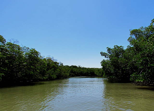
... we turned out of the Gulf and up into Indian Key Pass it got downright flat. The rough water at the beginning of the day did give us the confidence we needed for the rest of the trip. We had been in far worst on lakes, but there is something intimidating about looking out into the Gulf and not seeing any land out there. By the end of the trip it was no big deal.
........
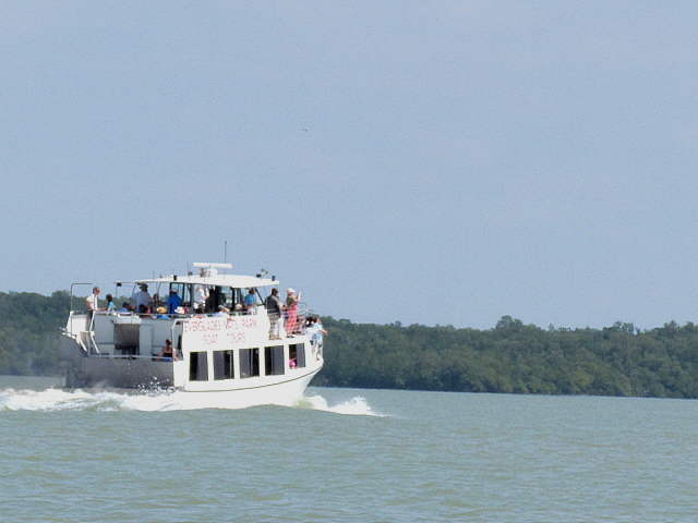
As we started up into Indian Key Pass we were passed by a tour boat taking people just out into the Gulf and then they returned back past us heading back to Everglades City.
........
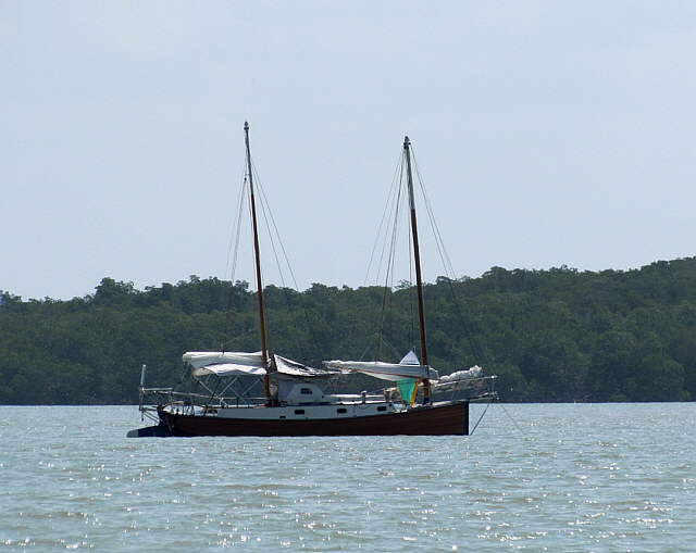
There were a few different boats anchored out in the Pass not to far in from the Gulf.
........
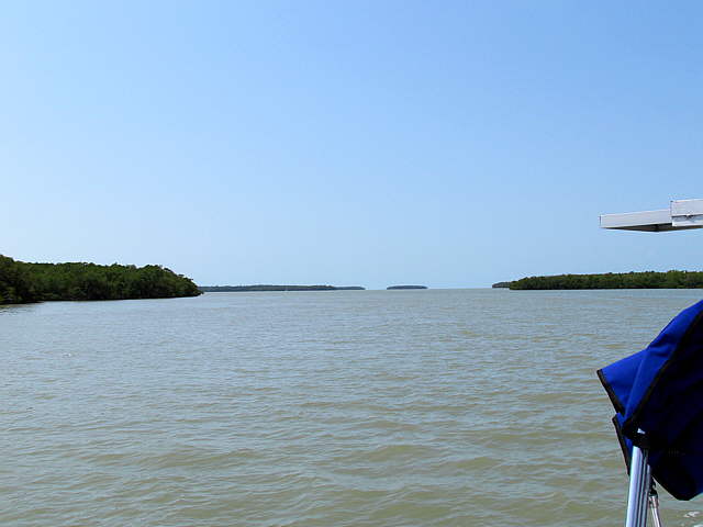
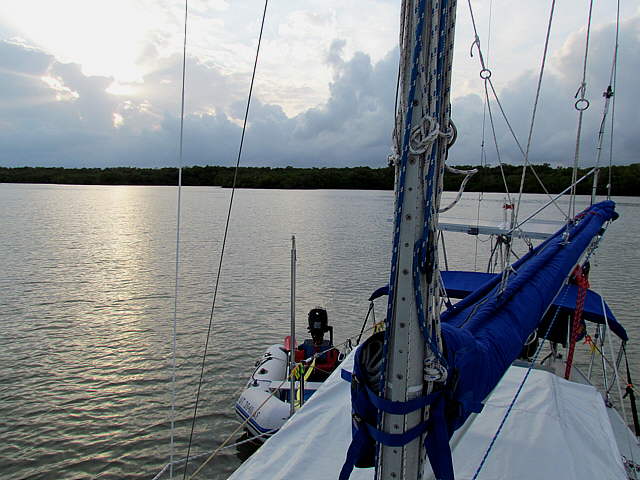
Looking back towards the Gulf in this area you can see that you still don't have a lot of protection from waves that could be blown in on you from the Gulf.
........
Most of these boats though looked like possible full-time cruisers, so I'm sure they knew what they were doing. Also their boats were a lot bigger than our small 26 foot MacGregor
........
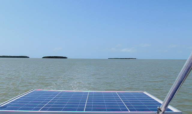
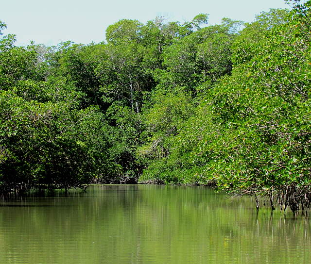
We started to pass numerous small islands and waterways off on ...
........
.... both sides of the boat and the ....
........
... Gulf also started to disappear astern. The current also picked up and we were going over 7 knots over ground according to the GPS at the same throttle setting that usually nets us about 5 knots.
........
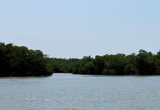
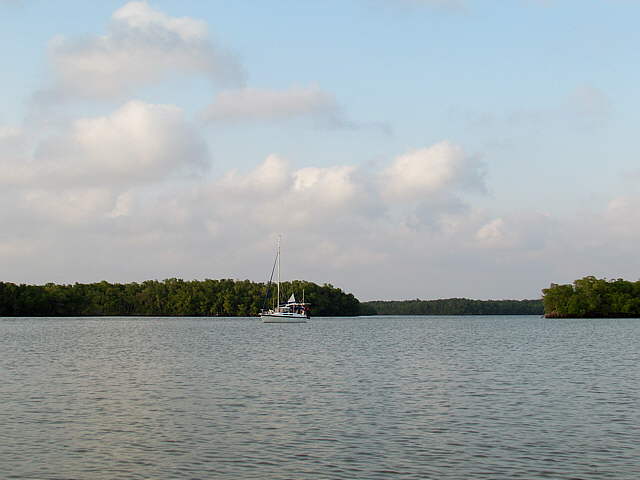
A ways up Indian Key Pass Russell Pass cuts off to port and Indian Key Pass grows narrower as it heads towards Everglades City. We made the port turn up Russell Pass and after a bit pull into a side bay, but found it too shallow and ended up anchored just barely in the bay off on the edge of the main channel.
........
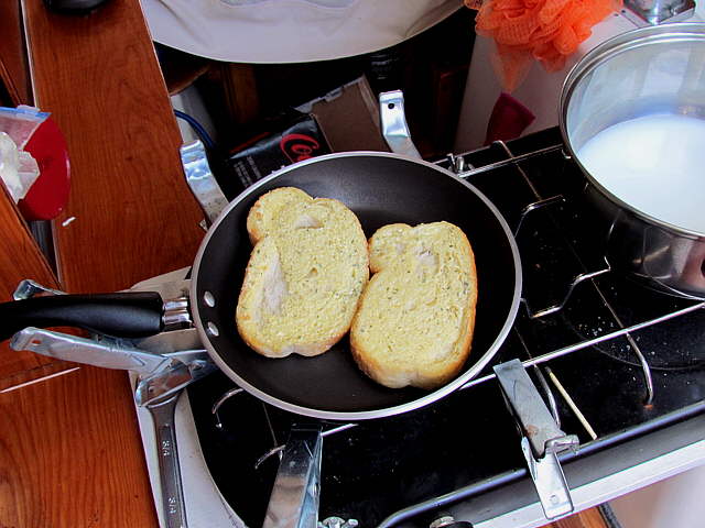
As you can see we like the frozen Texas toast that of course thaws in the frig, but still keeps for some time. We also have regular bread on the boat for sandwiches.
........
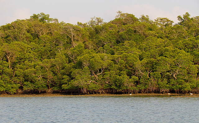
The above view is looking back out into the main channel.
........
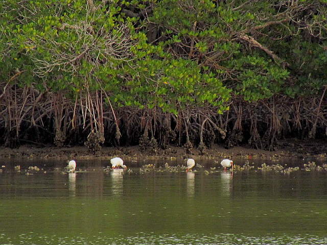
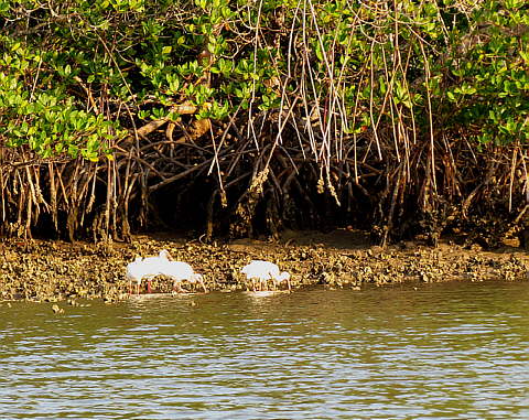
Over at the edges of the bay when the tide when out you would find the birds feeding and it was time for us to catch up on washing some cloths and putting them ....
........
... out to dry. If anyone tells Ruth about the above picture I'm dead meat. I thought it was pretty cool though.
........
The waves in the picture are wind driven, but I couldn't believe how fast the currents in the main channel were both going out and coming in.
.....................
I took the dinghy for a slow spin around...
........
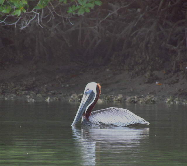
... the bay, passing ....
........
.. this pelican back in the shadows.
........
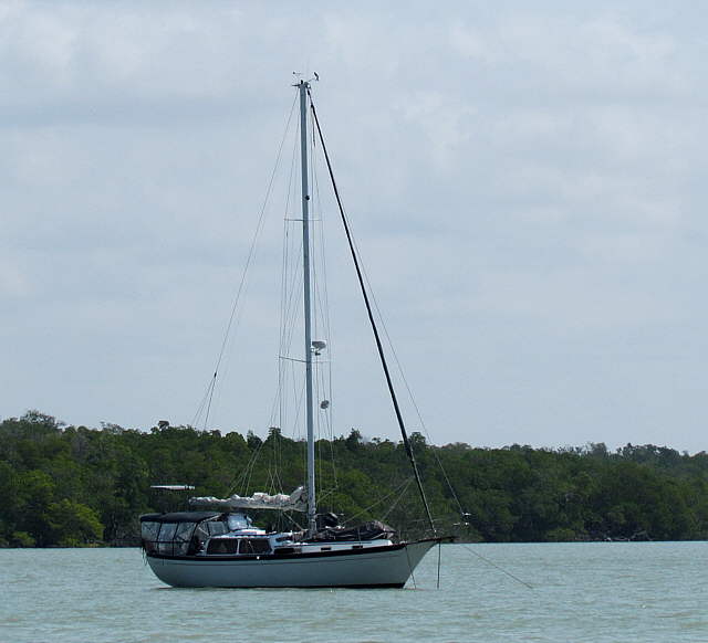
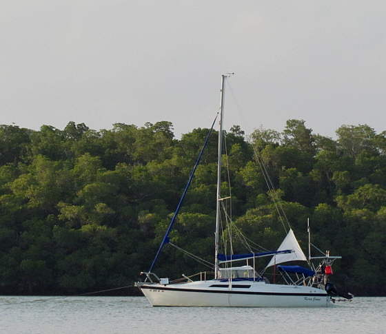
Here is a view of the Kera Jane from back in the bay.
...............
The trees behind the boat are on the other side of the main channel. Looking at the anchor rode you can see we usually employ a lot of scope.
I think we only had one anchor down the first night here and then put 2 down on a Bahamian Moor to keep us from swinging out into the channel where the currents were higher and to also keep us from swinging into the shallow water in the bay.
In all the nights we have anchored out I feel we only drug anchor once on our first trip when we only had the danforth that came with the boat and possibly on the last night of this trip on our 22# claw.
........
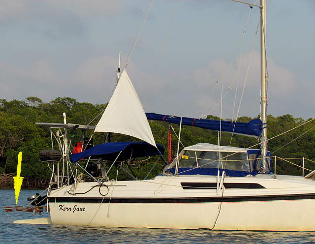
A close-up of the boat showing how we normally keep the stern boarding ladder. I have a brace that snaps into place to hold it out horizontal. This gives us a boarding platform for getting in and out of the dinghy and also acts like a towbar for the dinghy when we are underway. In that manner it keeps the dinghy out of the outboard and also keeps the tow rope out of the outboard and the rudder. Also we ran into sea grass further into our trip and I was able to stand out on it and clean the grass out of the prop when the outboard was up as it is in the picture. There is more on the ladder mod ( HERE ).
Also as you can see on anchor we have the rudder and the outboard both up. Also we raise the centerboard in its trunk. I don't like having anything hanging down in the water just in case we would swing on anchor and strike an object or the bottom sideways where the centerboard, rudder or outboard wouldn't be able to swing up.
........
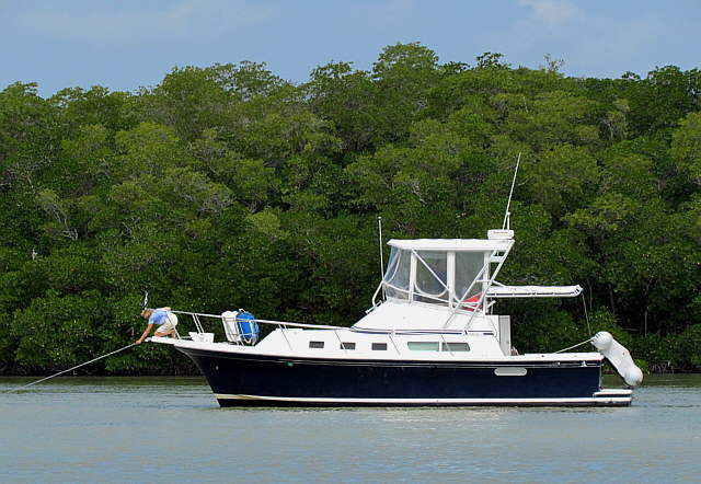
Instead of going straight into Everglades City we wanted to try this anchorage out for a day or so. The second day there we were able to contact the Rod and Gun Club there on the cell phone, but found out that we wouldn't be able to have a space on their seawall until Sunday as a group of powerboat cruisers from a yacht club were coming in and they had the place booked.
Knowing that we just hung out on the side of Russell Pass for a couple days planning on going in on Sunday if the weather would permit.
........
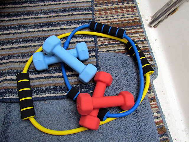
When we are home we try walking 1-2 miles every day but on the water we often don't even go ashore for days at at time so that is out as far as exercise is concerned. We bought the above items at Walmart and try and use them every day on our arms and legs. We will just make up an exercise and do it for so many reps three times. Nothing scientific, but it does seem to help.
........
On Thursday all ....
........
... of these ....
........
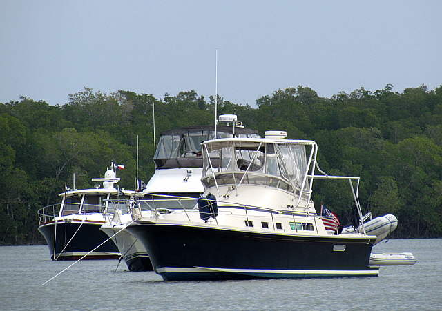
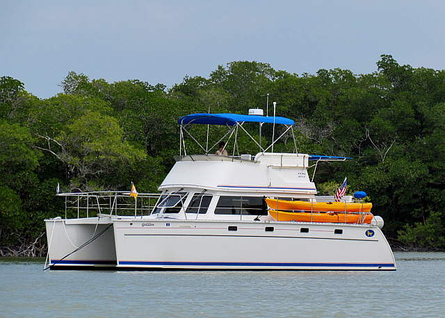
... boats showed up and stayed a couple days. We figured out that they were the overflow from the yacht club rendezvous in Everglades City. Then stayed on anchor out in the main channel were I was glad that we weren't anchored due to the current there. We still swung with the current/tide changes, but with less strain on our anchor gear. They were pretty boats, but I'm sure we were as happy or more so in our little old Mac.
........
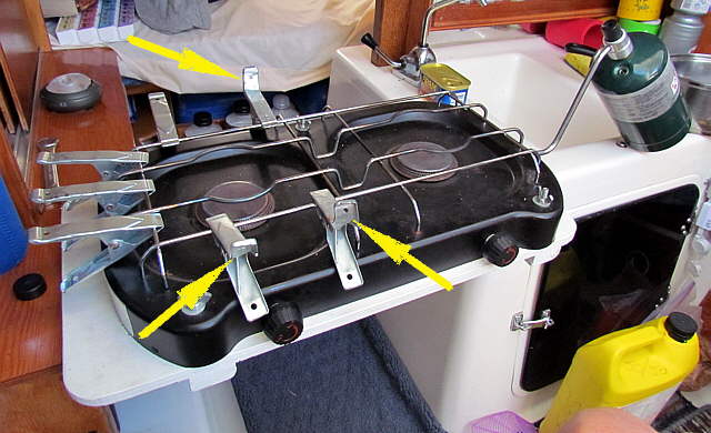
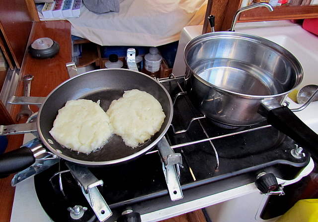
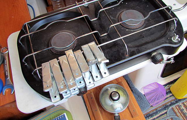
A couple of our pots/pans didn't want to slide around on the stove much, but others did, especially if we were on a rough anchorage. We had the metal clamps above on-board, so I used them to keep the pots/pans from sliding off the stove. I bent the ends up on a couple of them to aid in this.
........
Here the slippery pan is on the left, but the clamps can be used on either or both burners.
........
They are stored on one side so that they aren't in the way when the stove is put away on top of the storage cabinet. More on the stove and how we use and store it ( HERE )
........
On our last full day on this anchorage we took a dinghy ride. We headed back down ...
........
.. Russell Pass a bit and then turned into a side channel and followed ....
........
... in a ways until it finally started to come to an end. It was pretty and we saw a couple birds, but nothing more ....
........
... much to Ruth's relief. We had seen a couple alligators on our Fall trip, but none on this trip and we might of been too far from the mainland to of seen any here. I need to find out more about them.
........
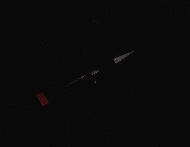
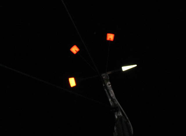
That night I took a couple night shots with the camera. This one of the Windex without flash and ...
........
... this one with the flash. The anchor light gives off just enough light down low to see the Windex on anchor at night like in the first picture.
........
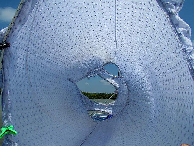
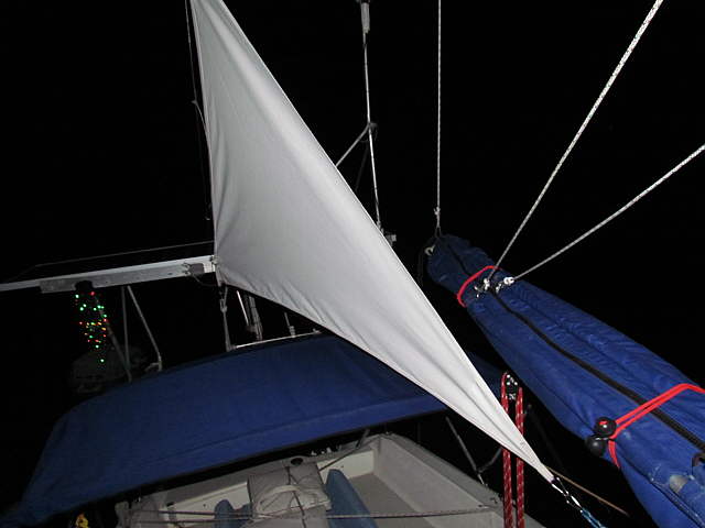
This one of the anchor sail and there was still one working string of Christmas tree lights working and you can see them hanging under the solar panel on the left side of the picture.