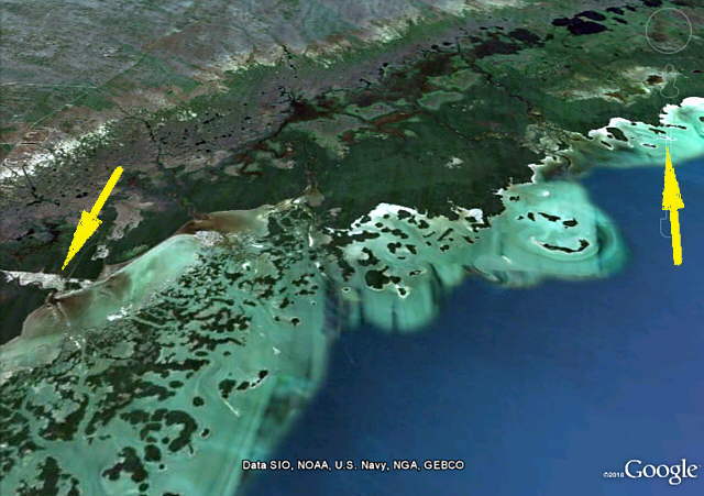
....................--- Everglades City To New Turkey Key ---
.................................................................--- April 6, 2011 ---
Nights Anchorage: 025o 38.926' N -- 081o 16.756' W -- New Turkey KeyTrip Odometer: 217.8 miles
Days Mileage...: 24.8 miles
This proved to be a great day and probably the best single day of sailing on the trip. I was still weak from being sick, but felt that the best medicine for me was getting back out with the Mac while we had what appeared to be a good weather window. Once on the way south towards Marathon in the Keys there would be no more cell or WiFi coverage. We hoped to still be able to pick up NOAA weather on the way with the VHF, and that proved to be true.
........
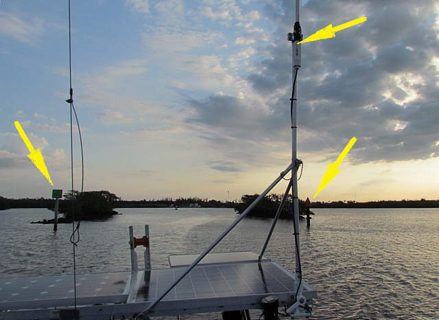
We were up early and headed down the narrow channel towards the gulf leaving Everglades City behind. Above you can see some spoil piles on each side of the channel from where they dredged....
........
.... the channel. Here I zoomed pack up the channel for one final close-up of the entrance into Everglades City. The bottom left arrow points at what appeared to be a chartered fishing boat that soon passed us.
........
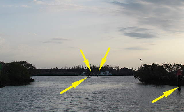
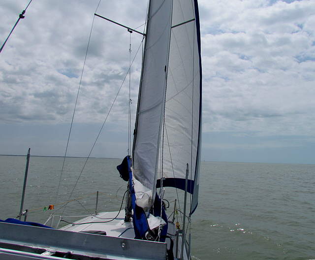
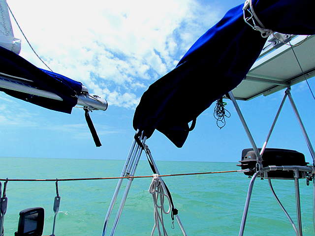
Once we cleared Indian Key Pass under power and made it into the Gulf and we unfurled the Genoa and headed south. We ran at a little under 5 knots on the Genoa alone and were in no hurry.
........
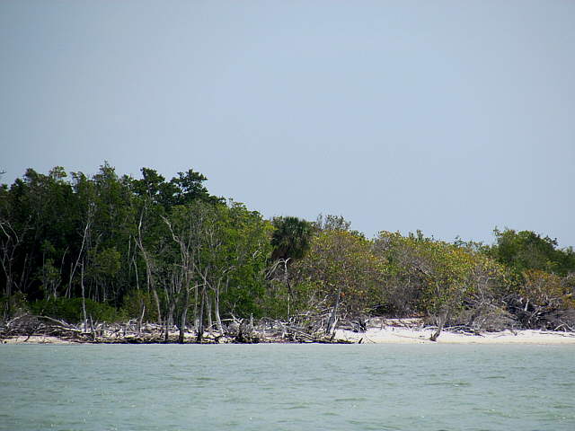
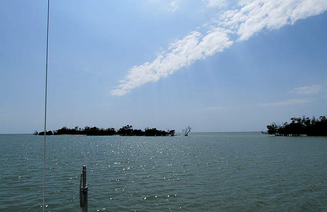
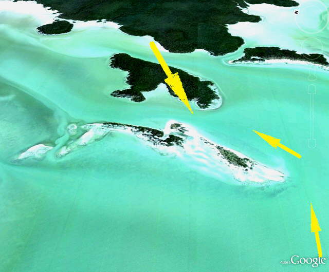
We ran a fairly straight course a couple miles off the coast towards a point to the west of New Turkey key. Using the telephoto I could bring some of the islands to us.
........
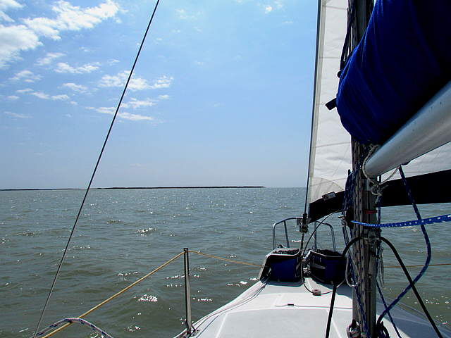
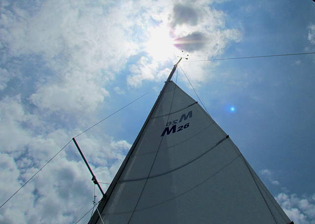
The wind dropped some, so we put the main up and continued at about 5 knots for the ..
........
...remainder of the run down towards New Turkey still seeing some white beaches off in the distance.
........
We hope to come back to this whole area and spend a lot more time here. The main problem going south from Everglades City is the few protected areas that you can get into with a boat that has a draft of over 4 feet. The MacGregor is great for this, but still you need to search the charts for safe anchorage's if the winds are out of the west.
........
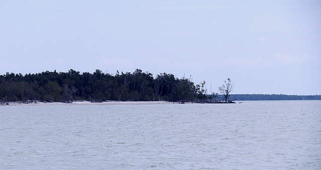
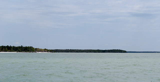
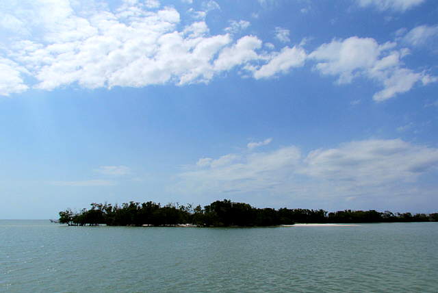
Even thought the camera brought the shore up in some of the pictures above this was a more typical view of the shore from a couple miles out. Even out here the water is only 7-9 feet deep. Also everything towards shore looks the same. It would be very hard to navigate down here if it was your first time in the area without a GPS. SeaClear running on the computer never let us down. We had paper charts, but it would of been hard to use them. There are no real landmarks and if you try to get closer to shore to try and make out shoreline shapes you are in shallow water.
........
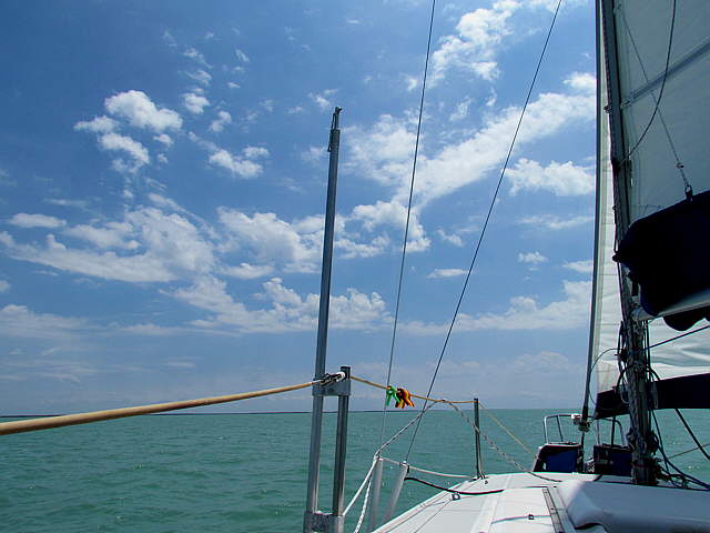
The view off to the Gulf side of the boat reveals lots of pretty water.
........
This was a great day out on the water and we really liked the new sails we had bought in 2010 from Martin at Somerset Sails in New York.
After sailing for a few hours south on the longest run we had ever made under sail without tacking the chartplotter told us we were to the west of Turkey and New Turkey Keys and it was time to lower the sails and follow our waypoints, see chart below, into ....
........
...... the channel just to the east of New Turkey Key shown above. Not much to it, but if there was a wind out of the west it could prove to be a lifesaver.
........
When we arrived there were some people fishing and messing around over on the sand bar above, but they soon got into their boat and were gone. It was early afternoon and the weather was great. We put two anchors down in a Bahamian Moor since the channel isn't real wide and we expected to swing around as the tide went in and out.
........
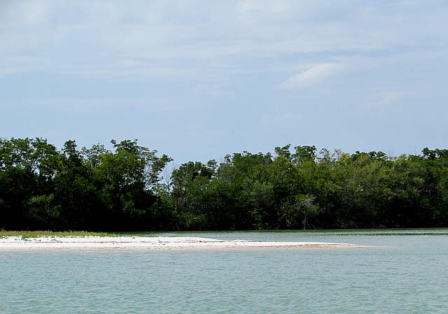
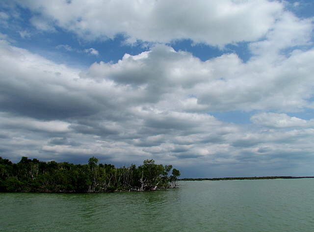
There are a couple small islands here that are either not out of the water or barely out of the water. Above is a view out into the Gulf and ....
........
... this is a view towards the mainland. You can see that there is shallow water close by.
........
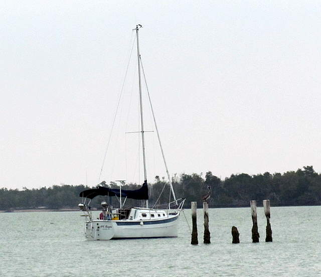
A couple hours after we arrived this really nice looking Seaward 25 putted past us on its little diesel and put an anchor down. They were the only other boat that came into this anchorage while we were there.
........
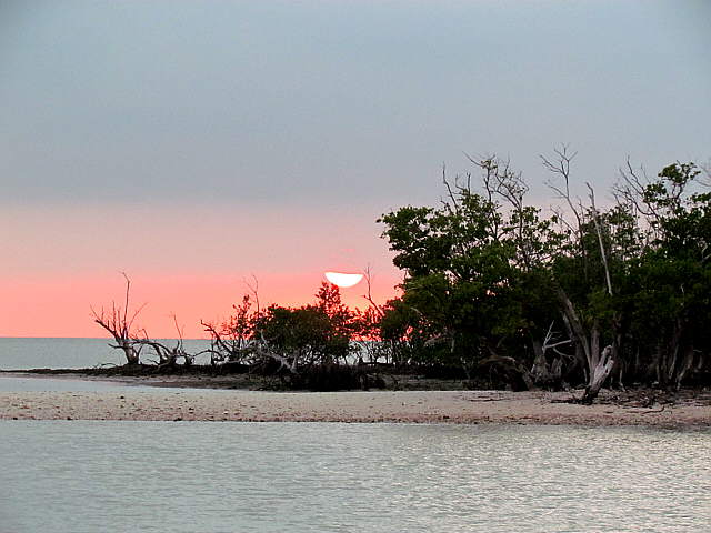
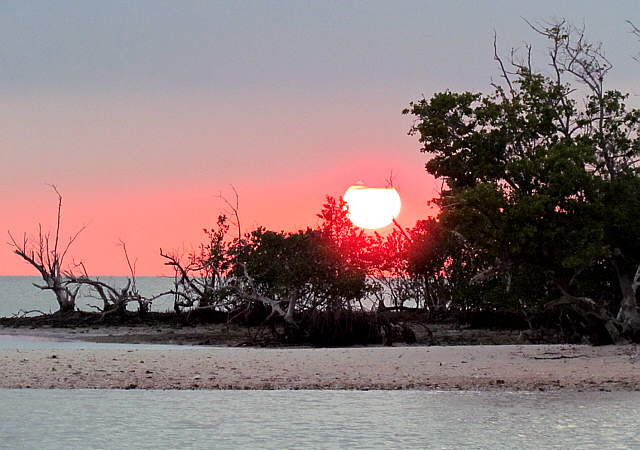
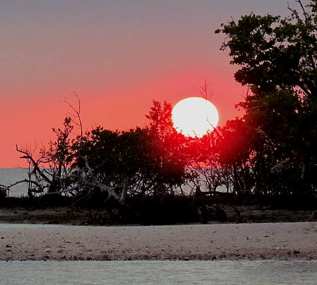
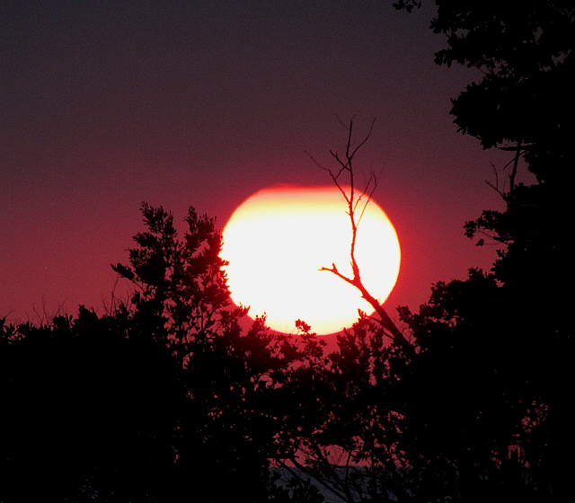
All too soon the sun ...
........
.... did its...
........
....final act ...
........
... of the day and we ate and settled in for the night. I then laid out the waypoints for the run down to Little Shark River, hopefully the next nights destination.