...........................................--- On to the Rincon ---
.....................................--- Saturday Oct. 10, 2009 ---
Day's Starting and Stopping Points Under Sail:
Today's Starting Waypoint #11 = N. 37o 15.996' -- W. -110o 51.955
Today's Ending Waypoint #12 = N. 37o 20.086' -- W. -110o 50.064
Night's Anchorage: Very end of a narrow channel on the northwest side of the Rincon.
Anchorage = N. 37o 18.330' -- W. -110o 48.275'
Today's Progress: Sailed Total =13 1/2 miles -- Up-Lake = 9 1/2 miles -- Motored = 3 milesTrip Totals: Sailed 89 miles -- Up Lake Miles 67 -- River Mile 75 - Motored 21 1/2 miles
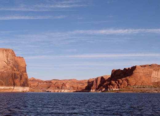
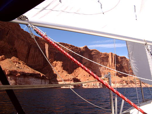
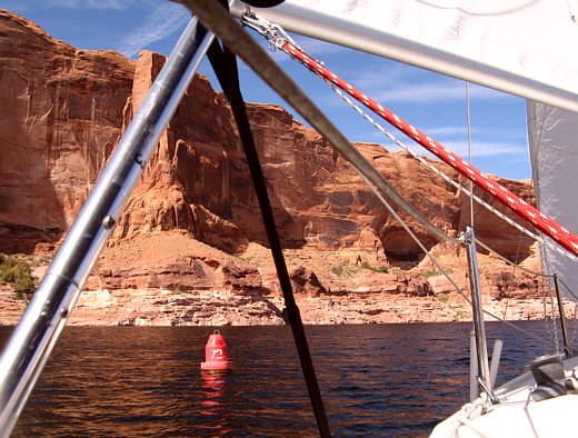
Trying to have another good day like the one before we were up and off 'Naked Man Point', as we now called it, before 9 a.m. and ............
........
.............. out to our waypoint.
........
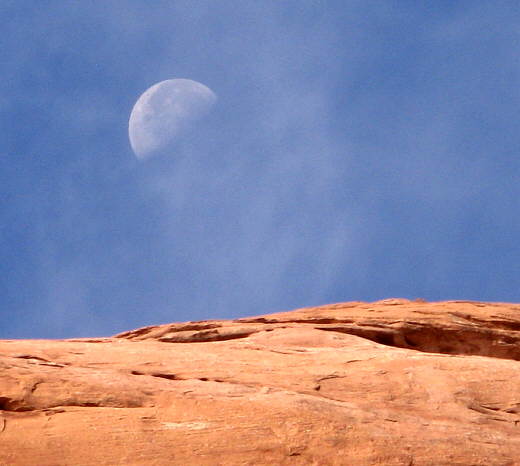
The sun is now going down before 7 p.m. and the moon comes up late at night and is almost at its third quarter stage setting in the late morning. With the sun now not above the canyon walls until well after 7 a.m. our days are getting noticeably shorter and the nights longer and colder. Still with the pop-top down at night the small interior of the Mac 26S pays off by not getting that cold at night and we are still quite comfortable. We have really taken a liking to our small home on the water during the course of these trips and all the new woodwork and storage has contributed to the homey feeling vs. the stark empty white look the boat had when we purchased it. When we are home and I take someone down into the cabin to show them the boat it always seems so small to me. I see their skeptical looks that seem to say 'how can anyone possibly live in these small quarters for any amount of time'. Yet once on the water and when we are underway the cabin seems quite spacious to both of us and we don't feel confined at all.
This situation though is a real test of how well you get along with someone. For the 24 days on the water in Idaho/Canada and then the 18 days on this trip Ruth and I were never much further than 8 feet from each other for well over 90% of the time. For us it has brought us much closer together and we have become a real team on the boat and in our life off the boat. A great thing for us!
........
Once out on the water it was no repeat of the day before. We were greeted with a ..........
........
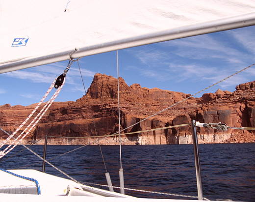
.............. north wind of only 0 to 3 mph coming down the lake into our faces. Beating into a less than 3 mph breeze is a pretty frustrating situation, but we had no other choice. Tacking back and forth up-lake many times over the next hour we found we had made less than a half mile towards the confluence of the Escalante Arm. When you get near the Escalante Arm it appears to actually be the main channel if you aren't watching your map. It was amusing to watch a number of boats go that way only to see them come back out a short while later and then make the proper turn and head up the main channel of the lake.
........
Finally the wind picked up to maybe 4 mph and we made it to the Escalante Arm and made the turn up the main channel. At about the same time the wind shifted for the first of many times over the remainder of the day. It also picked up in intensity. We started running and reaching and finally were making good time up the lake again.
........
We rounded a big bend in the river just past Pollywog Bench where the river turns back on itself and runs parallel to its former northwest direction by now running southeast. You go about 5 miles here ending up only about 1 mile across from where you were much earlier in the day. As we started into this southeast stretch of water the wind really picked up and was now right on the bow.
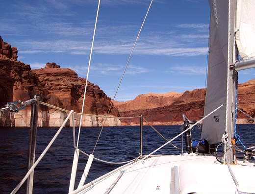
The channel was about as narrow as any place we had been to this point on the trip. At 1200 feet wide or less it seemed that as soon as we tacked in one direction and got a little speed on it was time to come about and tack the other way. With the wind going yet higher we finally had to turn into the wind and come to a stop and lower the main to the 2nd reef point. That helped some, but now the jib was overpowering the boat some and was steering the bow off the tack down wind if I didn't release it some. It along with the main was creating more heeling than Ruth was comfortable with, so I had to release the sails occasionally as she tried to stay on course. We tried sailing on the main alone, but couldn't complete our turns on the tacks, so had to put the jib back up. A roller furler jib would of helped some, but we were learning. In fact I had taken some time to read more about proper sail shape in 'The Annapolis Book of Seamanship' and we were doing a lot better controlling the boat on all points of sail.
This is probably a good time to mention that we were really glad that we didn't sail Lake Powell last spring for our virgin sailing experience. Lake Powell is a difficult and probably dangerous lake to sail especially in the spring and fall when wind speeds in excess of 60 mph can happen fairly often. There are lots of sheltered places to put a boat into on the lake, but a lot of those are impossible to anchor in as the water drops off so fast and there is not enough room between the shores to put out enough rode to get a good scope. That leaves you with tying up and that can also be tricky with sheer rock walls and/or good rocks/or trees a long ways off the water. As I mentioned earlier we will add 1 or 2 more 200 foot long 3/8 inch 3 twist lines to our inventory. On our first trip were we didn't make it due to the Jeep motor blowing up we had discount poly lines for shore lines. Those sure wouldn't of held us back there in Balanced Rock Canyon and the only thing we will use now are 'real' anchor lines.
Priest Lake in Idaho and Kootenay Lake in Canada certainly presented us with challenges and for us were threatening at times, but Lake Powell has definitely been harder to sail and at times feeling safe is questionable. I would caution anyone without the right anchoring/mooring gear or without some experience to use extreme caution being on the lake in the spring before the end of May or on the lake in the fall after mid September. This is not to say that you would escape very high wind conditions during the summer months, but the chance of them developing then are probably less.
One final note on this. According to a Deseret News (Salt Lake City) news story:
( http://www.encyclopedia.com/doc/1P2-5871688.html )
"Lake Powell's blue water, winding red-rock canyons and sandy beaches form a vacation paradise for nearly 2 million visitors a year. But beware. More serious recreational boating accidents occur there than at any of the Great Lakes, the Mississippi River or even the Pacific Ocean's U.S. coast.
In fact, Lake Powell recorded the sixth highest rate of boating accidents of any body of water in America since 1995. Half of all Utah boating accidents occurred there, too."
Now to put this in perspective a lot of those accidents are not weather related, but alcohol related, still be careful if you sail Lake Powell.................
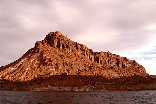
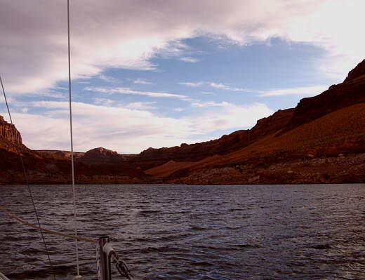
Well back to us trying to tack down the lake towards the Rincon (above picture), which is a high butte that stands by itself in an ancient bend of the Colorado River that was cut off by the river cutting across the bend and leaving the old river channel high and dry around the backside of the Rincon.
With the Rincon still a couple miles away and the narrow channel about to start opening up to where we would be able to do longer tacks we realize it was getting pass 5 p.m. and we were nowhere near a good place to tuck the Mac into for the night.
........
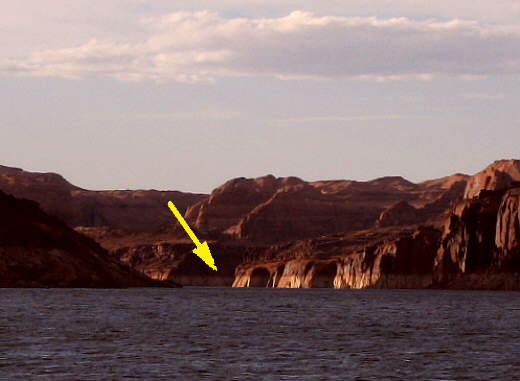
We marked our position on the GPS and lowered the sails and motored off towards the southeast leaving the narrow channel (arrow) behind us. We were interested in a small bay a little over 2 miles away that showed on our map and was located on the northwest side of the Rincon where the ancient river channel use to be.
If you are not comfortable reading contour lines on a map and picturing the slope of the land they portray then it would do you good to freshen up on that. The maps we were using showed the under water contour lines and using those and allowing for the current lake level it was often possible to find a good place where an anchor might work or where the shore line wasn't a sheer cliff.
........
We had to give the 8 HP Honda some throttle to make way into the wind and waves. Reaching the point where we would turn into the bay by the Rincon we passed over a shallow shelf I had seen on the map but felt we were ok going over. Going over the shelf we went through the tops of some trees. I worried about the prop getting clogged, but then we were through and the outboard kept up her beat. Pulling into the narrow channel beside the Rincon the wind was still such that Ruth had to keep the throttle opened up so she had steerage and she had to watch my hand signals since she couldn't hear me over the wind.
We passed one possible moorage to our starboard where a power boat was up on the shore. The guy with the boat motioned that we could also tie up there. With our much longer boat it didn't look good and we continued on. Just a few hundred yards further along off our port side was a second power boat and jet ski tied up with no room for us.
We were now basically out of water ahead of us with only about 100 yards left before the water ran out in a narrow "V" with vegetation growing in the water and after it. We ran over a large boulder that had rolled down off the nearby slope at some time in the past. I saw it too late to tell Ruth what to do, so I just winched and waited to hear the bottom or outboard hit it. I had pulled the centerboard pretty much all the way up prior to this, but still expected to hear it hit also. Well nothing other than the rudder hit and it kicked up after the auto-release cam cleat on the tiller let go just like it is suppose to.
Past the submerged boulder the water dropped away again and I directed Ruth........
........
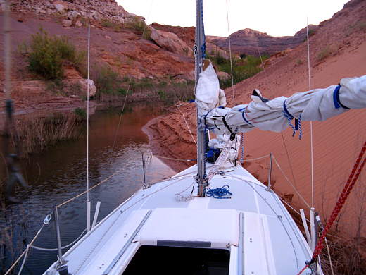
............... to run the bow into the steep sand slope on our starboard side. As the boat came to a stop I took a long step down off the bow onto the sand slope with a rope bag in hand. I tied the line to a bow cleat and walked and slipped my way forward on the slope to a large boulder and tied the boat off. With that done I tied the stern to both shores to stabilize the boat and to keep it from sliding off the sand to port and going further forward.
This would be our 3rd straight night pulled up onto a sand shore and we really liked it compared to swinging around on an anchor with or without shore lines. Of course tying up like this isn't possible everywhere on the lake. I'd be careful about doing it if you could get direct hits from large houseboat generated waves coming in on you as they could lift the boat and drive it forward onto the shore time and again.
........
We had another great dinner of canned salmon, mixed vegetable and packaged pasta (pasta side dishes from Knorr -- formerly Lipton) along with toast made in the frying pan. We mix all of that together and boil it until the pasta is done and really like these meals. We mix different packaged pastas with different vegetables and different canned meats. An easy to fix meal that tastes great on the water, but not as good at home.
We still had ice in the Coleman 5 day cooler after getting ice at Dangling Rock Marina 7 days prior and it looked like it would hold for another couple days, but it would probably run out before reaching Bullfrog/Halls Crossing.
They were predicting 20+ mph winds for the following 2 days, Sunday and Monday, so we planned on sitting these out right where we were. That would probably mean we wouldn't reach Halls Crossing until late in the week. It was a little discouraging that we wouldn't be able to sail the length of the lake from Page to Hite in one trip. If we can continue to only sail the rest of the way from this moorage to Bullfrog/Halls though us two old folks will be mighty proud of accomplishing that feat and we will return the next year to finish the " Sailing the Length of Lake Powell Journey" by completing the Bullfrog/Halls to Hite section of the lake. Again we would sure like to hear if someone else has done this.
........
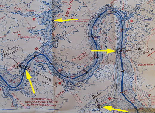
We started the day at #011 (bottom left arrow), just below the Escalante Arm of the lake (top arrow) and sailed to #012 (top right arrow) where the narrow canyon we were trying to get past was about to open up, but we ran out of daylight. Then we had to motor over 2 miles southeast before we could find a protected anchorage (actually tied to shore -- bottom right arrow).
Note: When looking at these maps you will see black tick marks going up the lake that I put on with a pen. The distance between the ticks is one mile the best I could figure and is what I used to see how far we were actually getting up-lake each day.
