.....................................--- Back to Factory Bay ---
.............................................--- March 24, 2011 ---
Nights Anchorage: 025o 57.840' N -- 081o 43.422' W -- Factory BayTrip Odometer: 150.7 miles
Days Mileage...: 16.4 miles
For a couple days before this date Ruth started to develop a problem where she seemed to be breaking out at various places on her body. They didn't really look like bug bites and we hadn't noticed no-see-um's or mosquitoes and I was fine. We kept thinking it would go away, so moved ahead with the trip.
Now we were ready to head south with only Everglades City and the Keys and they were going to be 1-3 weeks away. We called Ruth's daughter and she got on the Internet and told us that she couldn't find doctors in Everglades City, but did find some skin doctors back at Marco Island. We then decided that we had better play it safe and return to Marco Island and got the doctor on the phone on the 23rd, day before this, and were able to make an appointment for the 24th.
........
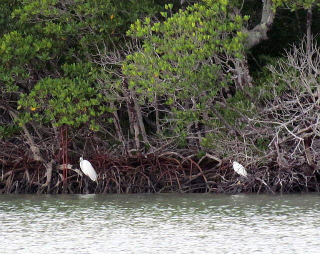
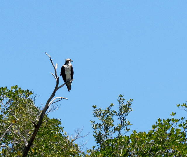
So we were up pretty early along with some of our...
........
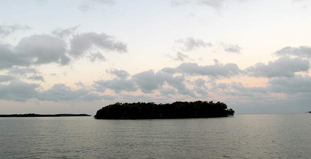
... feathered friends over in the nearby mangroves and pulled anchor and motored back a ways across the gulf and they up towards Goodland when we saw one of the coolest things of the trip.
There was a pod of Dolphins hunting/fishing over in the real shallow water near some mangroves. You could see the tips of there fins in the water and every once in a while one would go like crazy after I guess a fish up into the real shallow water and most of its body would be out of the water while it was chasing the fish in the shallow water. I couldn't believe how fast they were. I tried to get a picture, but just couldn't catch them. I won't forget thought ...
........
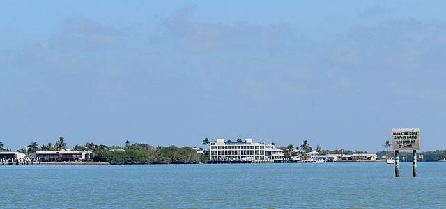
... just a little further and we found ourselves back in Goodland. We passed the ...
........
... the houses and the few...
........
..... businesses there.
........
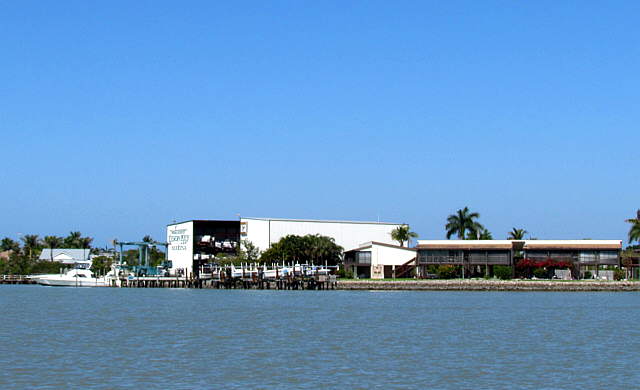
Then it was back through the channel that is The Big Marco River and past the guy above.
........
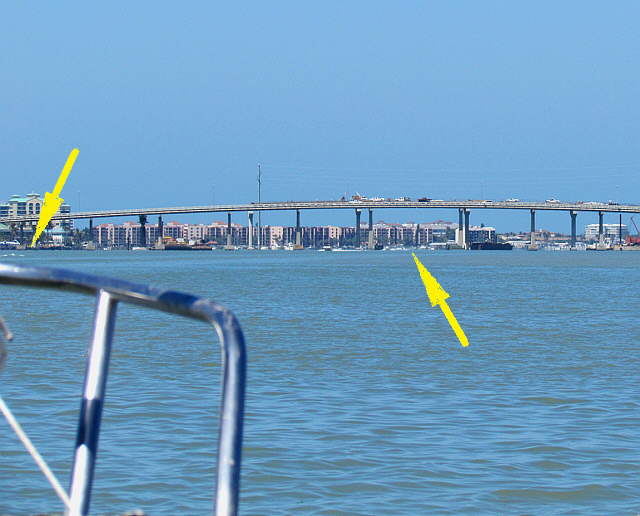
At the end of the channel we approached the bridge that ties Marco Island to the Mainland. You pass under the bridge where the right arrow is, but you don't head straight there due to all of the shallow water that is between there and the current boat position. You head to a channel marker where the left arrow is at the one end of the bridge. At that marker you make a 90 degree turn to starboard and parallel the bridge until you get to the marker where you make another 90 deg. turn this time to port and go under the bridge.
The tidal current was really running strong and during the parallel to the bridge part we had the boat crabbed at what seemed to be a strong 30-40 degrees pointed at the bridge to keep it on a course parallel to the bridge. Then turning and going under the bridge we really had to turn the wick up on the throttle to make headway into the current and proceed past the bridge and down towards Factory Bay. The current was worst right at the bridge.
Once a Factory Bay we re-anchored very close to where we had been anchored a few days before. We decided to stay there for the night until she could see the doctor the next morning. Then if we had to stay we planned on moving over to the more protected Smokehouse Bay.
The rest of the day was supper and getting to bed.