.....................................--- East of Turtle Key ---
.................................--- March 22 to 23, 2011 ---
Nights Anchorage: 025o 53.135' N -- 081o 34.484' W -- East of Turtle KeyTrip Odometer: 134.3 miles
Days Mileage...: 18.4 miles
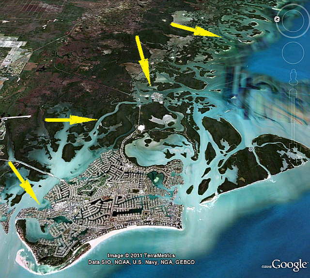
Tuesday morning arrived with clear skies and nice weather. I had a little apprehension about the leg of the journey we were to undertake this day. We would be following the Big Marco River channel from our present location at Marco Island over to Goodland where we would then proceed out into the Gulf via Coon Key Pass and on south a ways to a channel by Turtle Key.
It appeared from reports I'd read and looking at the charts that Big Marco River shouldn't be a problem for our shoal draft boat, but still the channel was narrow in spots with very shallow water just off the channel. I took my time putting in the way points using the NOAA chart we had for the area in SeaClearII so that we would have them on the main computer screen and also downloaded them as I did every day into the Garmin 76 handheld GPS that we would have in the cockpit.
The other alternative to going south and what we would of done with a larger boat would be go back out into the Gulf at Marco Island via Capri Pass -- Big Marco Pass then head south well out being aware of Cape Romano Shoals and then back into the northern end of the 10,000 Islands if that was were you wanted to end up.
........
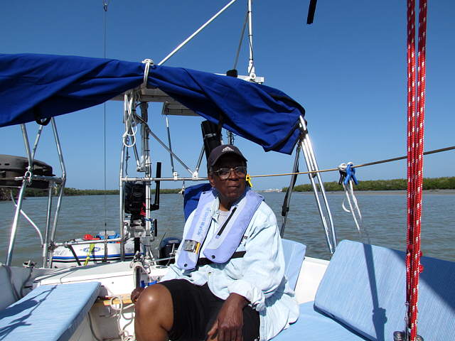
We fixed our usual breakfast of cereal, bananas and coffee and ...
........
... near by the tourist were boarding one of the excursion boats. We soon had the anchor up and being careful to exit Factory Bay on its eastern perimeter headed into the ...
........
... Big Marco River channel and headed towards the ....
........
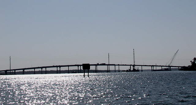
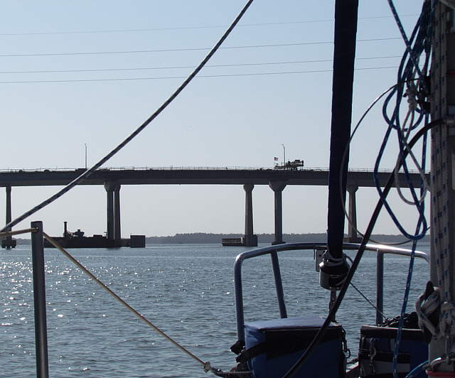
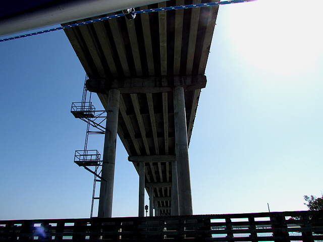
.... bridge that connects Marco Island to the mainland. They were working at the ....
........
.... foot of the bridge. Be and sure to look at the charts and follow the markers if you take this route or you will be in trouble. It looks like you would just exit the other side of the bridge and continue straight. Actually there is very shallow water just on the other side of the bridge. You exit the south side and almost immediately make a 90 degree turn to starboard and parallel the bridge towards shore for some distance before making a 90 degree to port and then heading in a southern direction down the channel.
........
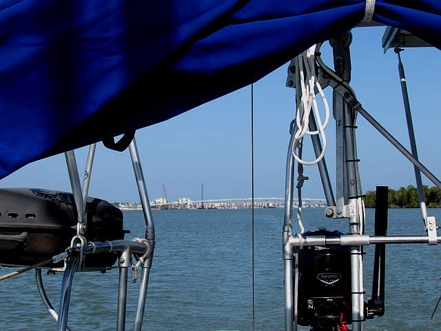
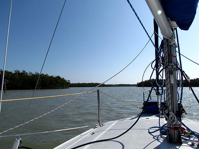
.... with the bridge receding aft of us we motored along for the first part of the trip where it is ....
........
.... some distance shore to shore. We kept an eye on the depth finder and also...
........
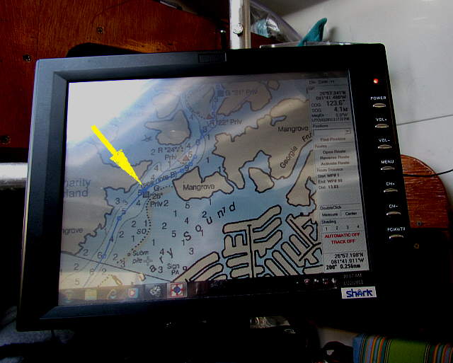
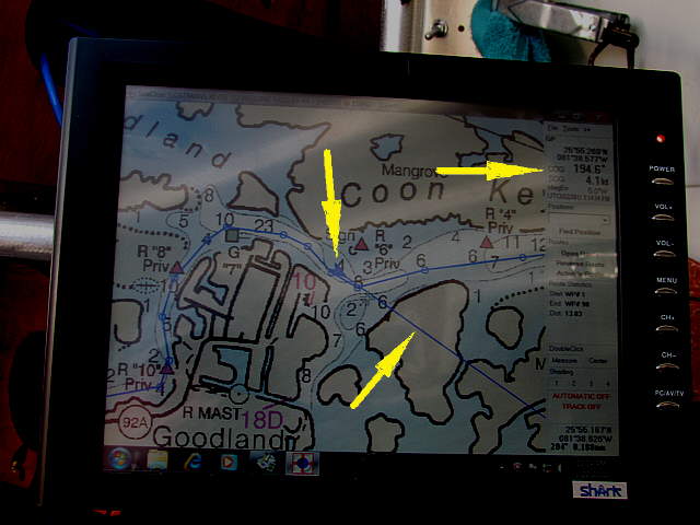
.... kept an eye on the chartplotter screen just inside of the cabin. The arrow on the screen shows where the current boat position was at the time the picture was taken. We were about ready for ...
........
... Ruth to take us into the ....
........
.... narrower section of the Big Marco River.
........
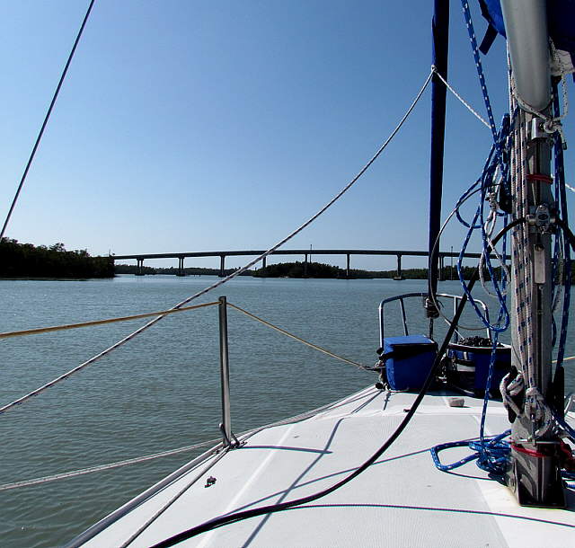
It didn't take too awfully long to reach the bridge that goes over to Goodland and pass ...
........
.... under it. We followed the twisty channel on past the bridge and were soon ...
........
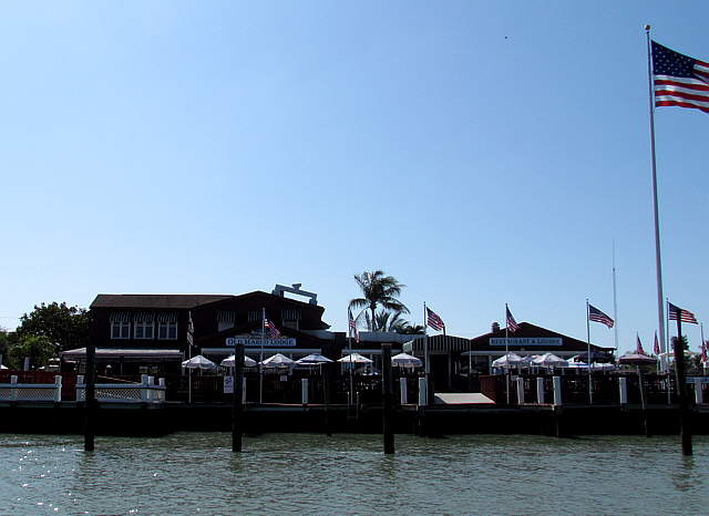
.... passing the couple business that make up the waterfront there along with some homes. It was quite a contrast to Marco Island.
........
Above the top left arrow points to the 'present boat location' symbol. We are just slightly off of the route line, but still in deep water and have the 'red' channel marker off our port side. The bottom arrow points to our course direction at that moment. SeaClearII provides you with most of the pertinent information needed on the 'dashboard', top right arrow, such as your speed over ground, course direction and current position along with more. We love it and considering the price, free, along with the free NOAA charts can't be beat in our minds.
........
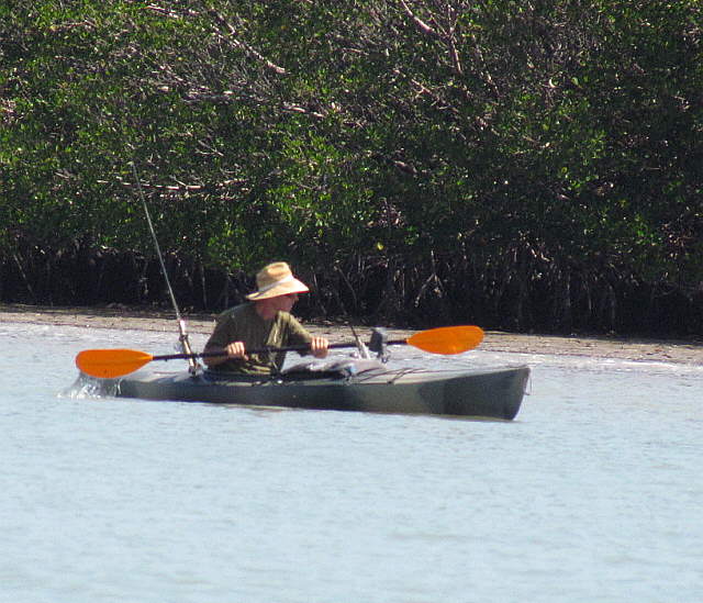
Headed down Coon Key Pass we spotted this kayaker over near the south shore.
........
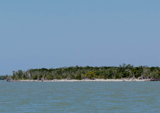
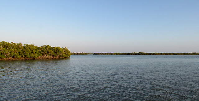
Shortly thereafter we passed the last landfall before heading a couple miles out in the Gulf. Once our far enough to ensure we would be in deep water, deep here meaning 4-6 feet, we headed SE towards the pass that would take us inland a ways on the east side of Turtle Key.
........
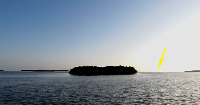
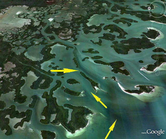
We anchored between the ends of two islands with the Gulf, arrow, back off in the distance and ...
........
.... shallow water and more islands off our other three sides. I took a minute and ...
........
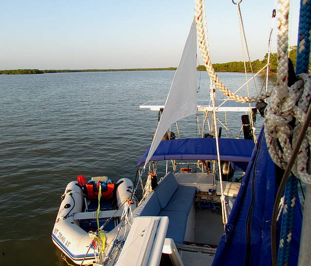
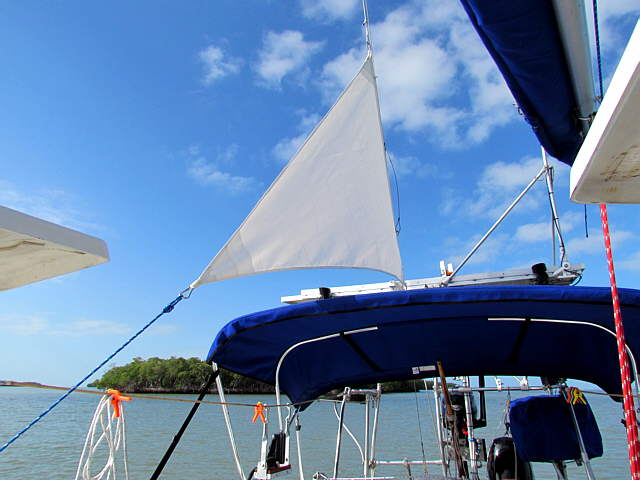
... put the anchor sail up and then we sat back and relaxed ...
........
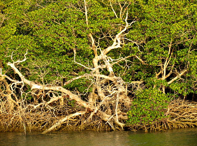
... and enjoyed some of the nearby twisted mangroves and just the ...
........
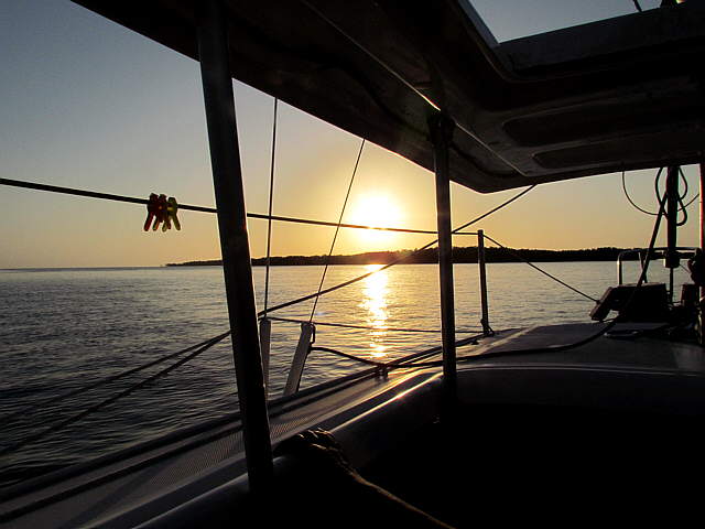
... overall view in general. This was lots better than rocking and rolling around in Factory Bay. We still had one bar on the cell phone and were able to make a couple calls and catch the family up on our travels.
........
We had fairly good protection and the weather wasn't suppose to do any thing out of the ordinary so we just stayed put in the same spot the next day also. We had reached one of our goals of the trip, making it into the 10,000 Island area of SW Florida. Life was good.