......--- Miserable Mile -- Ft. Myers Beach ---
.........................................--- March 15, 2011 ---
Nights Anchorage: 026o 27.852' N -- 081o 57.828' W -- Matanzas PassTrip Odometer: 69.5 miles
Days Mileage...: 23.5 miles
About 3 months previous we had been in Captiva on our Fall 2010 trip, but this had been as far as we had made it on that trip and it took a lot longer to get here vs. the 2 days on this trip. The weather had really pinned us down on that trip with cold, sometimes rainy and windy, mostly out of the west storm winds. This trip was different with moderate winds, mostly from the east, perfect temperatures, basically just real nice. We had only one problem, well maybe more than one.
We had never been out in the Gulf, we had never had to contend with currents going through cuts leading to the Gulf, we had never made an extended passage off shore with no convenient place to duck into, we hadn't really dealt much with tidal depth changes and we had never been out of sight of land. Now all of the above is dealt with all the time by thousands of boaters just in Florida alone, but if I told you that we had no apprehension about the above I'd be lying.
Hopefully we could use that apprehension for good and stay alert to our surroundings and use it to our benefit. Well as we left Captive bound for Ft. Myers beach we would in one day experience most of the above, but for the part of being out of sight of land and the off-shore passage.
........
We left Captiva fairly early, but hopefully timed about right so that when we arrived at the 'miserable mile' and the bridge over to Sanibel Island at the lower end of San Carlos Bay the tide would be slack, the currents low and the water deep. I'd finally started getting more familiar with the tidal functions on our Garmin Map 76S GPS.
The wind was light to non-existent, but we had planned on motoring this stretch to keep things as simple as possible.
........
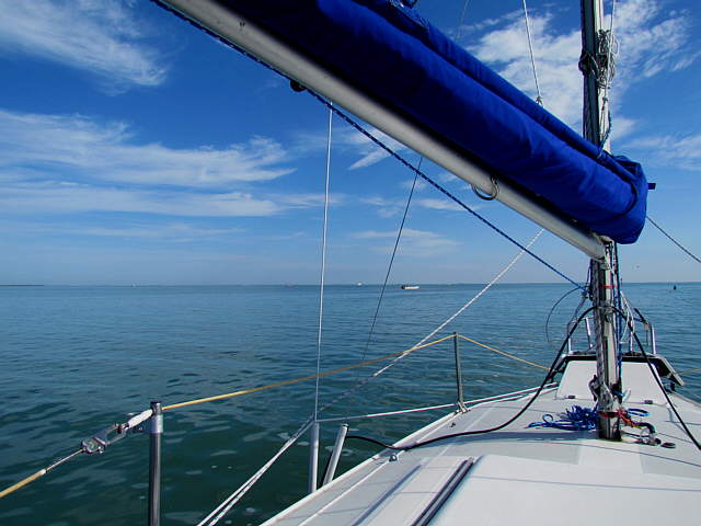
Once back out to the ICW and heading south we started to encounter more boats headed both north and south. Here we are astern of another sailboat and the power lines over to Sanibel and Captiva are ahead of us. You need to stay on the ICW here as the lines are raised, as shown above, only over the ICW and quite low on either side of it. They are marked on the charts although to be honest I hadn't noticed them on the chart before the trip.
........
At times we would see the bridge going over to Sanibel that we would be going under, but you don't head directly for it until much later as you have to stay on the ICW to avoid all of the shallow water in this area.
........
The closer we got to the bridge the higher the boat traffic of other boats going both ways.
........
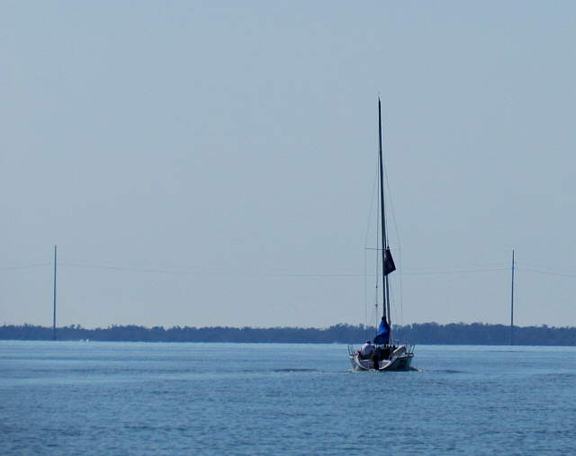
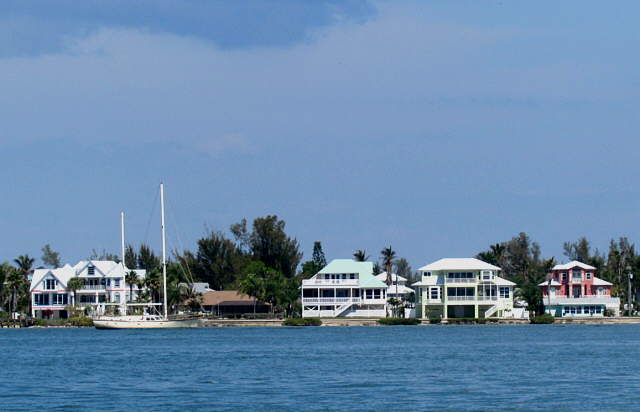
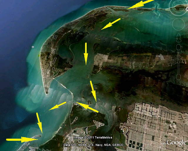
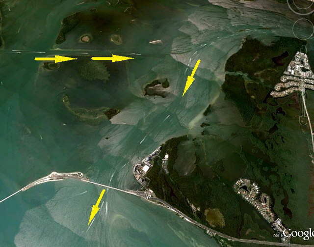
Above are houses on the south end of Pine Island. There is a bridge from the mainland over to Pine. In this section you enter the 'miserable mile' which on this trip turned out to be pretty anticlimactic for us after all that I had read about it. The problem that can exist is the ICW channel is narrow, there is very shallow water on the sides of it as we were to discover a couple months later when we traversed it in the Endeavour we had bought. My suggestion is to not do it on a weekend as even on this Monday there was more traffic than we cared for and to try and do it at high slack tide to give yourself as much water under you as you can and to avoid the strong cross currents that are at 90 degrees to the crossing as a lot of water tries to come in from the Gulf or return to the Gulf.
The last thing is wave at even the little sailboats like us if you are inclined to wave at other boats. We found that cruising on the 26 foot Mac not near as many people wave or wave back at us as when we went over the same water in the 37 foot Endeavour.
........
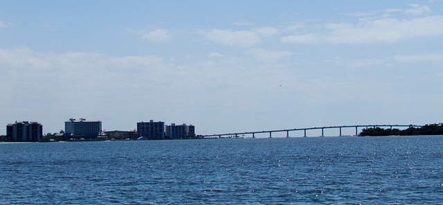
Finally a little after this picture was snapped we finally made the turn off the ICW and headed for the Sanibel/Captiva Bridge and were soon opposite the....
........
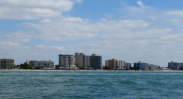
... high-rises at Punta Rassa on the Ft. Myers side of the bridge and then quickly ....
........
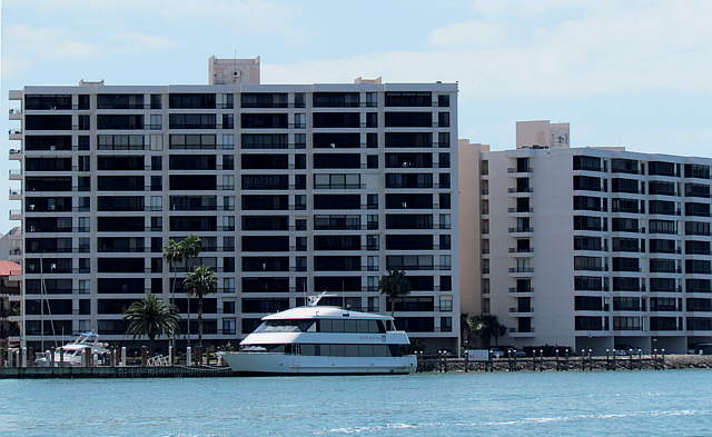
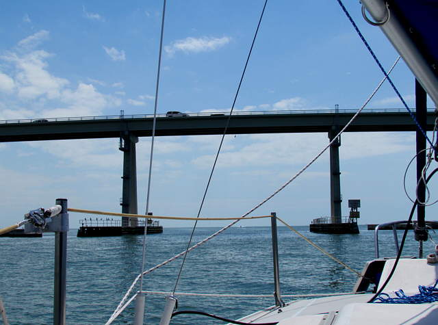
... on to the bridge and under it with no real problems. Once there it isn't too far to ...
........
... Ft Myers Beach, but look at the charts and don't be tempted to just cut over there. You go a ways south and then make a port turn and follow the channel markers into the bay that is behind the spit of land that you feel you are going to go aground on as the channel markers round it just feet away from the sand beach.
.....................
Most boaters will head on in and under the bridge that connects the mainland to Ft. Myers Beach on the Gulf and anchor up in Matanzas Pass or just before it. We had considered that, but wanted to leave early in the morning weather permitting and head for Naples before we got cold feet about that.
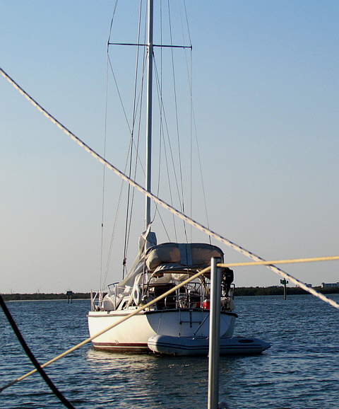
There were two sailboats anchored just off the channel on the east side of it and we pulled in between them and anchored. The one in the picture looked like the owners had been absent for some time as the sail was down on the deck and things just looked neglected. I would have like to of gone over and fixed some of that, but I'm not sure of the etiquette when it comes to doing something like that.
........
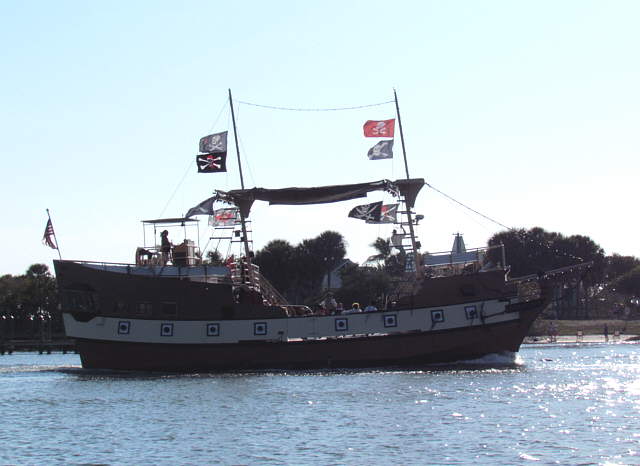
This tourist 'pirate ship' passed by a couple times with the speakers in full operational mode.
........
We had two anchors down on a Bahamian Moor and didn't move much except to swing around in the same location. Depending on the current direction this, the other boat, and the previous one would get closer or further away from us. I realize that it is a good idea to be anchored like those near you and we were careful that we still maintained distance between us and them as they both swung on a single anchor. If you do decide to anchor near the mouth of this bay as we did make sure you have good anchoring gear. We had no problems, but the currents were very strong and fast. A couple times it sounded like we were anchored in a fast moving stream.
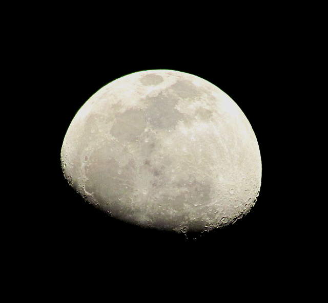
The day came to an end and a ....
........
... beautiful moon came up and I plotted the next leg of the journey and we went to bed trying not to think about going out into the Gulf for our first mini-off-shore trip of any length.