................--- Fanny Keys to Book Key Harbor (Marathon) ---
...............................................................--- April 12, 2011 ---
Nights Anchorage: 024o 42.588' N -- 081o 05.118' W -- Boot Key Harbor on the anchor.Trip Odometer: 305.1 miles
Days Mileage...: 11.6 miles
Earlier in this trip report I mentioned how we finally came to the decision to look more seriously for a larger boat. Not one to replace the Mac, but one we would leave in Florida and use for a couple months a year until age or health or something else dictate that we sell it. We had kind of narrowed in on Endeavour 37's as you could find them priced in our range and they seemed to be a good solid boat that was designed where we wanted to sail, Florida and maybe the Bahamas.
Using our long range WiFi sitting on anchor at Fanny Keys we found one in Boot Key Harbor on the other side of Marathon from where we were. We went and looked at it after the owner came and picked us up at Keys Fisheries. It wasn't quite what we wanted. We did find out that we liked the layout and feel of the Endeavour, this particular boat just wasn't quite the one we wanted so we continued to look at boats on the Internet.
We found another one that looked promising all the way back over on the west coast at Ft. Myers Beach, near actually where we had anchored earlier on the trip. I called the broker and after talking to him we set up a date to go see the boat a couple days later. This meant that we had to rent a car and leave the Mac in Marathon for a couple days.
........
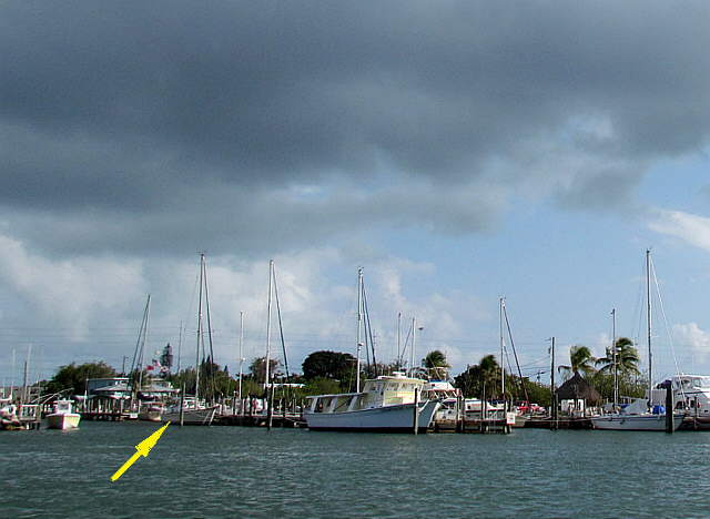
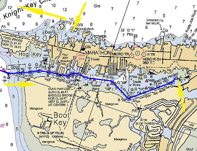
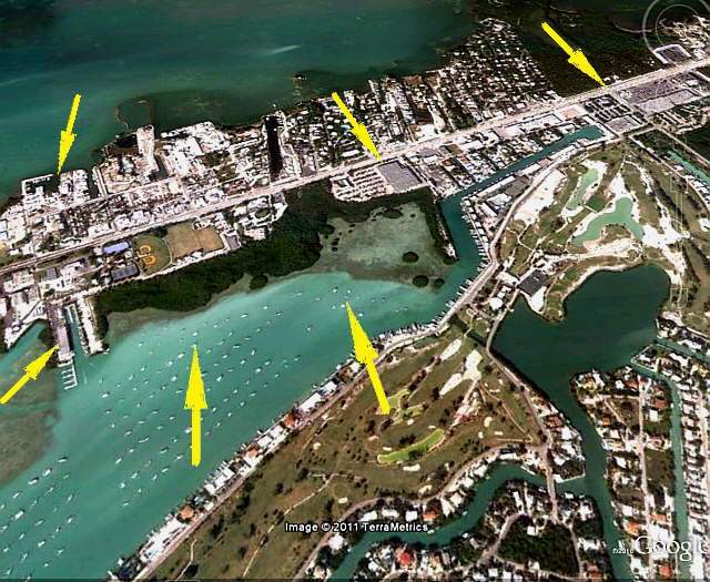
We considered leaving her on anchor where she was but after talking to the owners of the boat above, arrow. They said that if the wind switched to the west that would not be a good deal. Finally the decision was made to take her over to the other side and leave her at Boot Key Harbor on a ball at the mooring field there.
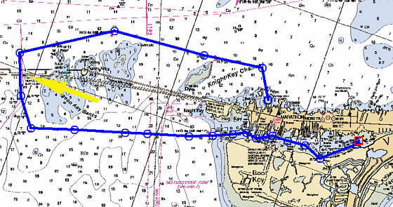
It was late in the afternoon, but after looking at the chart I figured we could motor to the other side before dark and talked Ruth into pulling up anchor and heading out. Of course I was wrong and we didn't get in over there by dark, but close.
........
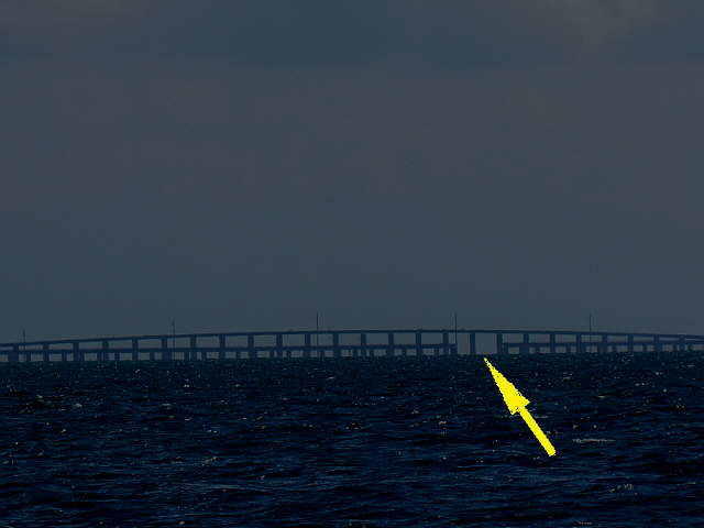
Here you can see that by the time we got to 7 Mile Bridge it was getting dark. On the other side of the bridge the water was a lot rougher than on the Gulf Side. Not terrible, but not real nice according to Ruth. Later I found out that the currents here can run up to 3 knots, so plan your crossing better than what we did.
The waypoints on the handheld took us right to the entrance into Book Key Harbor and from there we pretty much relied on the markers, but I did keep looking below at the screen on the computer/chartplotter as it is confusing going in there, especially under low light conditions.
We had never tied to a mooring ball and didn't want to deal with that right now so went to the far end of the harbor, where the chart shows submerged wrecks, and anchored in shallow water there. Because we had no idea if the wrecks were a potential problem we put 2 anchors down in a Bahamian Moor to limit our swinging around and spaced ourselves off from our neighbors a fair distance since I didn't know how they were anchored.
Since the mooring field is so large the area where you can anchor or very limited and shallow. The next time we go in there it will be in the daytime and we will get a ball right away.
........
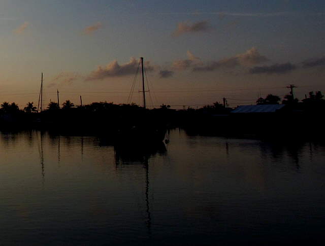
After the drama of making this move late in the day we settled in and slept great.
