.................--- The End Is Coming Into Sight ---
...................................--- Monday Oct. 12, 2009 ---
Day's Starting and Stopping Points Under Sail:
Today's Starting Waypoint #12 = N. 37o 20.086' -- W. -110o 50.064
Today's Ending Waypoint #13 = N. 37o 23.571' -- W. -110o 44.716
Night's Anchorage: East side of main channel.
Anchorage = N. 37o 23.544' -- W. -110o 44.632'
Today's Progress: Sailed Total = 15 miles -- Up-Lake = 10 1/2 miles -- Motored = 3 milesTrip Totals: Sailed 104 miles -- Up Lake Miles 77 1/2 -- River Mile 84 - Motored 24 1/2 miles
We were up before the sun as planned. After a quick breakfast we backed the Mac down out of the narrow "V" shaped end of the inlet we had run into 2 days before. Once we had backed about 100 yds. we were able to turn the boat in her own length using the tiller and the outboard together. With that done it was back out into the main lake channel. It was 3 miles back down the lake in the wrong direction to our last waypoint (#012). Motoring over water we were going to have to return over under sail wasn't a good feeling, but if we were to sail the entire distance from Page to Halls it was something that had to be done.
........
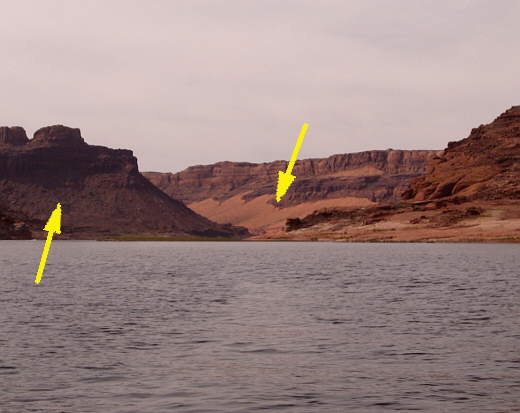
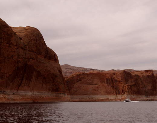
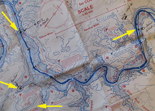
Finally we reached our waypoint and looked back down the three miles at the Rincon on the left and the area where we had tied to shore, right arrow. The bottom of the right arrow is where I had to climb to in order to get the cell phone to work.
With the outboard off and up and the sails up we were rewarded with almost no wind and what there was came in right on our bow, just where we didn't need it. At least we were to the point where the lake had started to widen out which soon allowed us to take longer tacks into the light wind. After an hour though we were barely 1/2 mile past our starting point, but at least we could now see the point on the shoreline that marked the next turn in the lake. Finally the wind started to pick up a little and we made the point and the turn which then allowed us to run with the wind on our stern. We didn't go much faster, but now all of our progress was in the direction we wanted to go and not tacking back and forth.
As the morning wore on the wind increased, but never to the predicted wind speeds. We passed 2 kayakers at one point and 3 others later. We had only seen 2 others before this, nothing like all the kayakers we saw in Idaho and Canada during our summer trip.
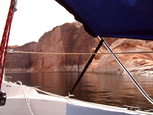
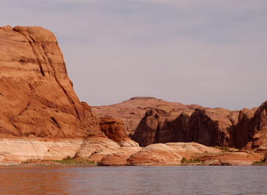
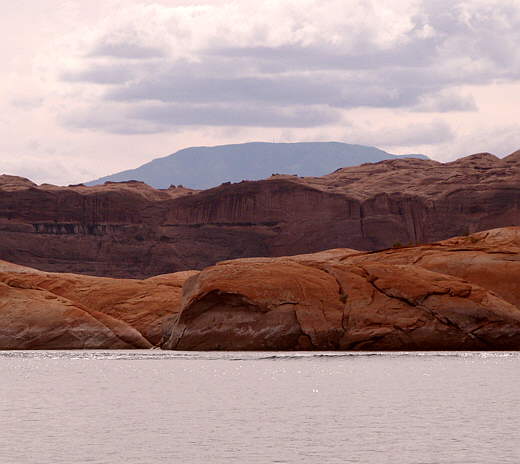
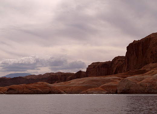
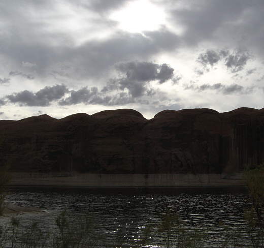
........The scenery continued to roll by us with one beautiful vista............
........
.............followed by the next. As you can see the day was overcast some, but that didn't interfere in the least with the canyon scenery of Lake Powell. There isn't a place on this lake that doesn't have a view.
........
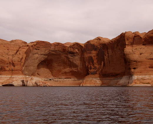
Around 2:30 p.m. we reached a long run to the NW of about 3 miles and the wind really died. The mile or so before this we had scoured the shoreline with the binoculars looking for some place to anchor or tie to shore, but found none. We were looking there since the map indicated shores lined with towering sheer sandstone cliffs for the next 5-6 miles.
........Slowing in the diminishing winds we decide about all we could do was go forward and .......
........
........hopefully find an anchorage. It it got past 5 p.m. we would........
........
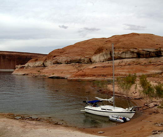
......have to go on the motor looking for one. About an hour later and barely a mile further we came across a small indentation in the east bank that looked to have a very short sand beach and a short rock point that wrapped out into the channel that might give us some protection from houseboat and powerboat waves.
........
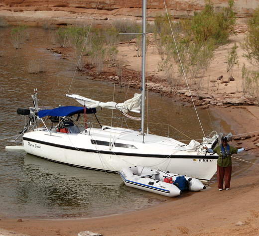
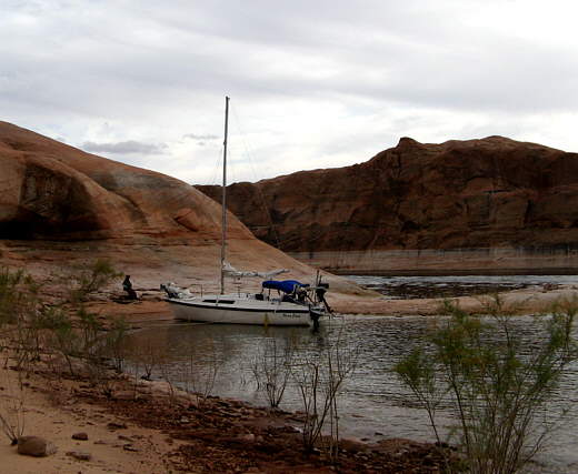
We marked our position and dropped the sails and motored over a couple hundred yards where Ruth preceded to put the bow up on the sand beach and I jumped off and tied the bow off. Then the stern was tied off to the rock point on the starboard side and to the shore on the port side.
........
We were happy with the day, especially since we had made 10 1/2 miles further up-lake towards Bullfrog/Halls. This left us with only about 11 1/2 miles to go to Halls. Another good day and we might make that.
........
The forecast for the following day was for 15 mph winds in the afternoon.
........
We decided to try for another early morning departure and then ate and ...........
........
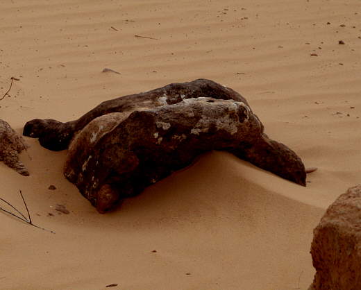
................. turned in with this guy looking over us from shore. I thought he looked like a frog, but Ruth's imagination was a lot more fertile and she felt it was a monster of some kind crawling up out of the sand. She didn't tell me if it was there to protect us or devour us though.
........
The top left arrow is the days starting point (#012). The bottom left was the prior night's moorage next to the Rincon (bottom arrow). The top right arrow points to the days end at waypoint #013. You can also see the scale marked on the map on this shot.