............................................--- Licking My Wounds ---
.......................................--- Monday Oct. 05, 2009 ---
Day's Starting and Stopping Points Under Sail:
Today's Starting Waypoint #9 = N. 37o 06.360' -- W. -111o 03.036
Today's Ending Waypoint #9 = N. 37o 06.360' -- W. -111o 03.036
Night's Anchorage: Still in Balance Rock Canyon (west side). Same as Previous 2 Nights.
Anchorage = N. 37o 06.923' -- W. -111o 03.155'
Today's Progress: Sailed Total =0 miles -- Up-Lake = 0 miles -- Motored = 0 milesTrip Totals: Sailed 51 1/2 miles -- Up Lake Miles 33 1/2 -- River Mile 43 -- Motored 15 miles
Today was spent licking my wounds and trying to think out the situation and what were the best options to get home at this point. The wind would come and go with gusts.....
........
........ still probably over 30 mph and every time we were hit by those a little fear ran through the two of us, but the 4 shore lines had held yesterday so there was no real reason to believe they wouldn't continue to hold today.
My knee felt like someone was driving a needle in it if I touched it in the wrong place, but I could walk on it. My shoulder had a little more mobility to it and I could move the arm and hand from the elbow down if it was supported at the elbow and did that to continue writing this journal. I couldn't raise the arm at all, but during the night I felt like something popped into place in my shoulder and this morning the lump on the top of the shoulder was gone. Getting in and out of the V-berth was very painful, but I now thought nothing in my shoulder was broken (kind of wrong on that guess as the x-rays would show).
My back was giving me pain when I tried to stand, but that was no big deal. I discovered most of the right side of my head hurt to the touch so the anchor chain had probably hit it when it went across me and knocked me down and out. The head soreness was probably an indicator of why I was momentarily knocked out.
All things considered I, we, were very lucky. My main concern was if I could start the outboard using my left arm as Ruth couldn't start it. Also could we get the anchors aboard along with all of the hundreds of feet of shore lines and get underway without floating into the shore. I had a plan for all of that, but first I would have to be in better shape to carry it out.
........
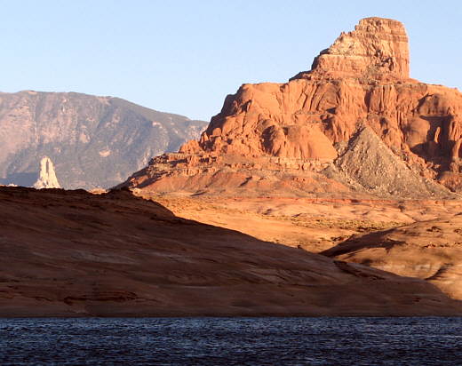
Since we had plenty of food, fuel, and water for a couple more weeks we decide to stay put and see how fast I recovered. This was also the first time Ruth realized we had no communication the the outside world back up in this side canyon. We could pick up the NOAA weather being broadcast from up on Navajo Mountain, which is over 9000 feet in elevation and within sight of our present location (mountain in background of above picture). I didn't think our VHF marine radio with the antenna mounted on the stern could reach anyone while we were back in this canyon and the cell phone definitely wouldn't work. Even though I'd been in this situation of not being able to communicate with anyone a number of times in Utah and back in Wyoming what was a first for me was that we couldn't just walk out of here with the high canyon walls all around us.
If things would of really deteriorated we could of gone ashore and up on the side hill there where you could see the main channel of the lake about a mile away. Once there we could of fired off a flare if we would have seen someone passing by on the main channel. The radio might of been able to reach someone going by on the main channel if they had their radio on. But since we never have ours on except to hear the NOAA broadcasts I wondered if anyone else monitored theirs.
........
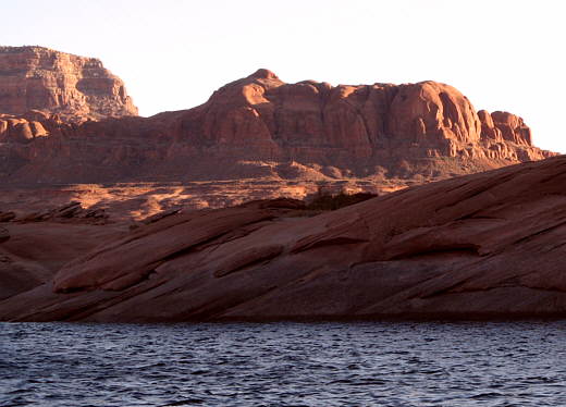
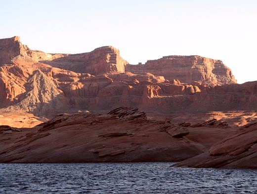
As it was we weren't that desperate and we were satisfied to just stay put for a few days and I even managed to snap the pictures on this page during the day.
........
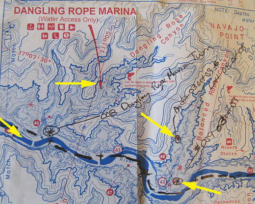
Still tied up in Balanced Rock Canyon (top right arrow).


