.......--- Key Largo To Manatee Bay (Barnes Sound) ---
............................................................................--- May 1, 2011 ---
Nights Anchorage: 025o 14.648' N -- 080o 24.102' W -- Manatee BayTrip Odometer: 401.4 miles
Days Mileage...: 15.5 miles
We wanted to take out at South Dade Marina on the 2nd of May so that we could go back over to Ft. Myers Beach to close on the Endeavour so we had to leave Key Largo on May 1st. We wanted to leave fairly early as they were predicting higher winds later in the day and we had to go across the lower end of Barnes Sound.
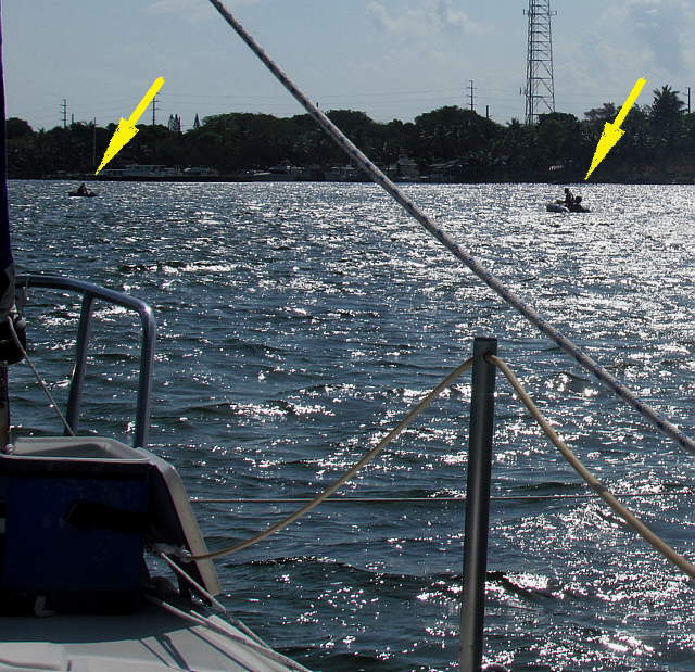
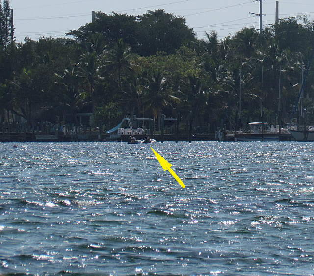
Well early didn't happen. I was up in the cockpit getting things ready when a couple passed us in a small hard-sided dinghy powered by an electric trolling motor. They just got a ways past us and I noticed that they came to a stop. They tossed what looked like a small mushroom anchor over the side and held onto the rode. It looked like they were trying to reach someone on a cell phone. I decided to go and see if they needed help or not. Ruth too the rest of the pictures.
........
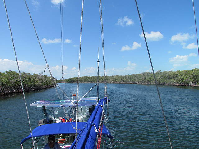
Above I'm off to the right headed towards them. The water wasn't real bad, but still not flat....
........
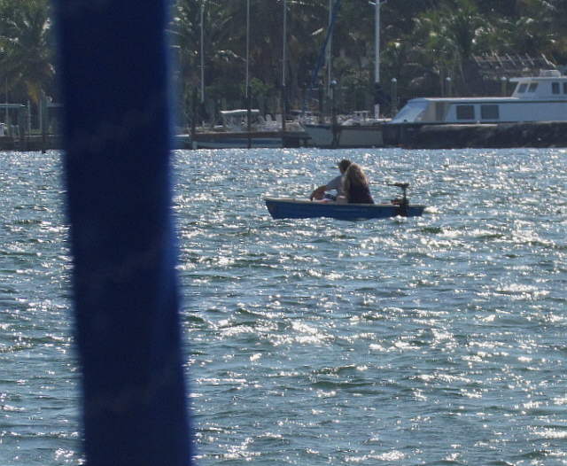
... and the dinghy they were in didn't have a lot of freeboard.
........
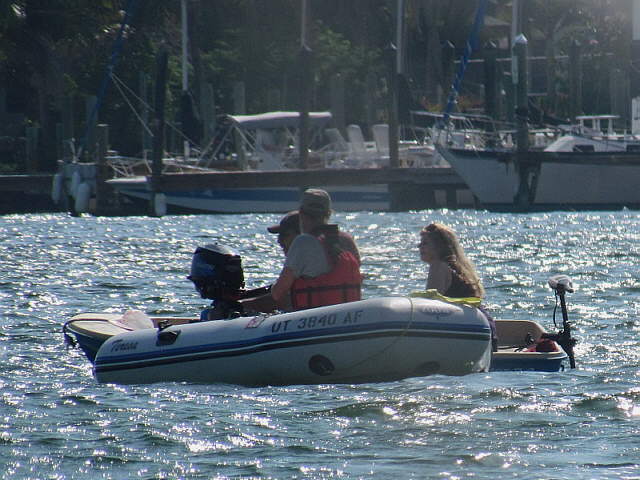
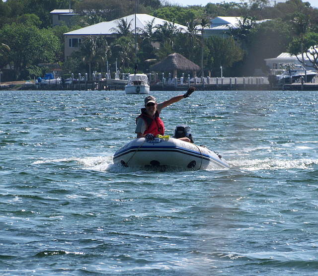
I reached them and found out that either the battery was dead or the trolling motor wasn't working. They said that they had called a friend and that he would be there in a while. Considering the conditions I offered to go ahead and tow them in. One thing I like about our inflatable is that it really rides on top of the water and not down in it as much as the hard sided dinghy's do.
........
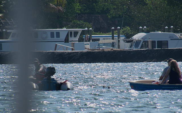
We rigged up a tow rope of sorts and I proceeded to tow them into a ....
........
... nearby dock where they were headed and then...
........
.... returned to the Mac. I really like the Zodiac and I'm glad that a friend who had a lot of on the water experience recommended one to us when we got into sailing.
........
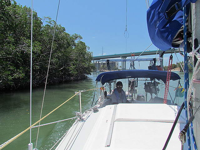
Back on the boat we were soon on our way and into the channel that took us out of the bay at Key Largo and on north on the ICW.
........
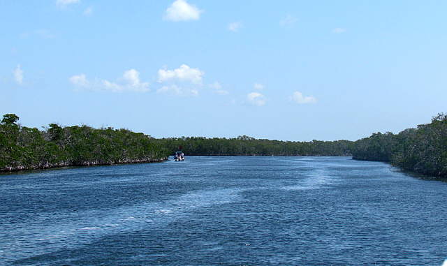
Of course some boats are faster than we are and...
........
... beat us into the channel which turned out to be ....
........
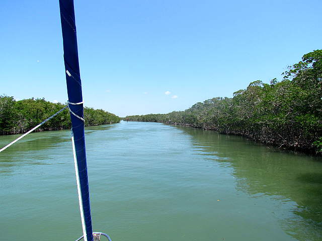
... an other interesting channel. The short cuts had gotten longer the further north we went.
........
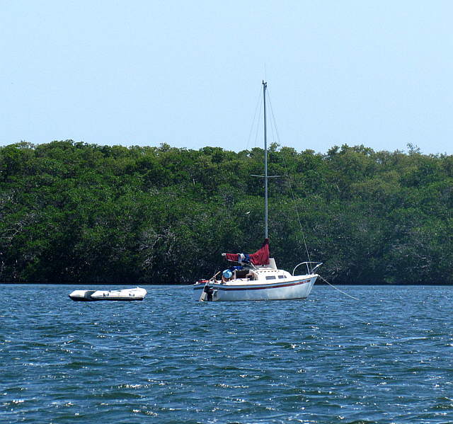
I like the nice anchorage these guys took off to the side. They probably had to deal with wake waves, but still it was a nice setting.
........
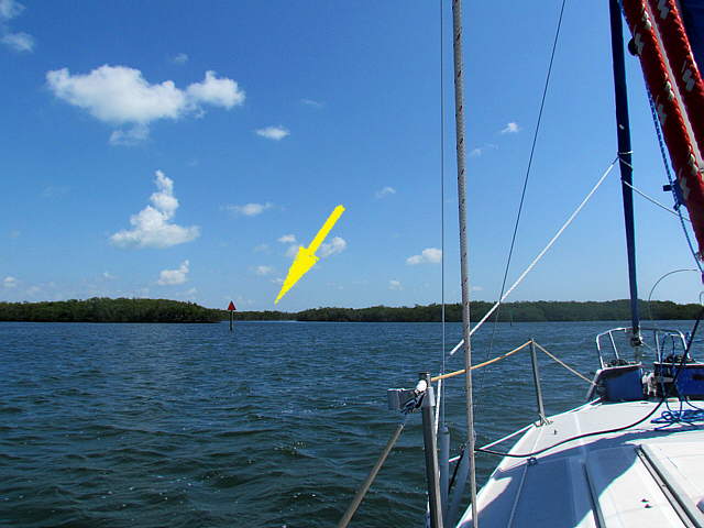
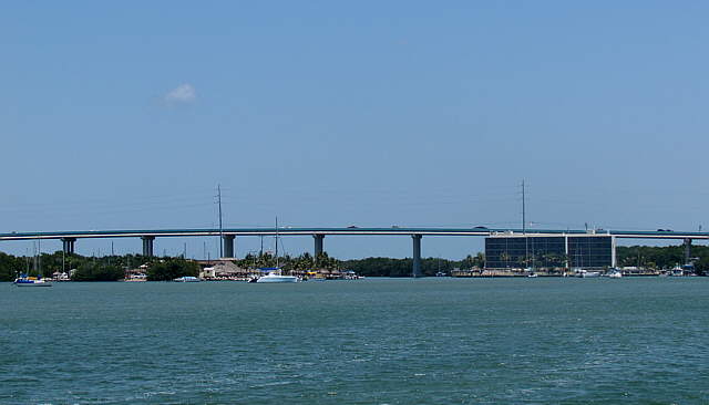
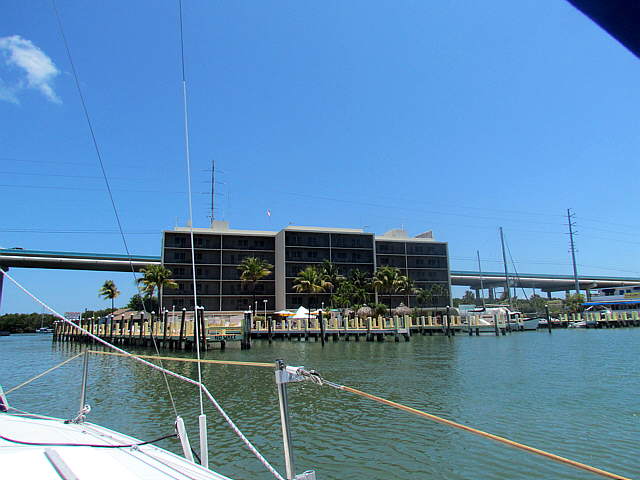
We crossed Blackwater Sound which was somewhat rough with the increasing winds, but the water flattened out as we approached the Keys Highway Bridge where the highway progresses from Florida's southeast coast over to the Keys.
........
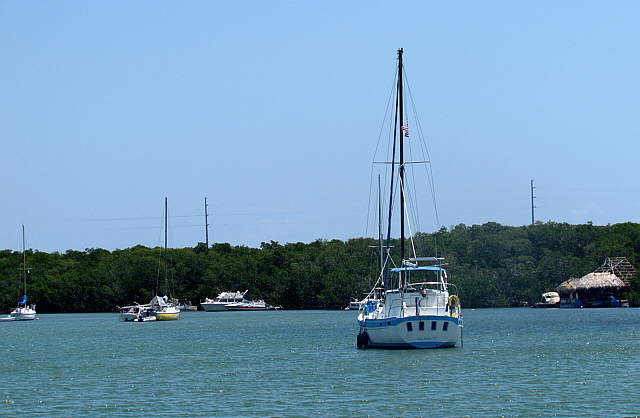
A number of boats were anchored in the vicinity and then ....
........
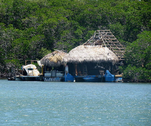
... there was this unusual residence that I guess was a house boat.
........
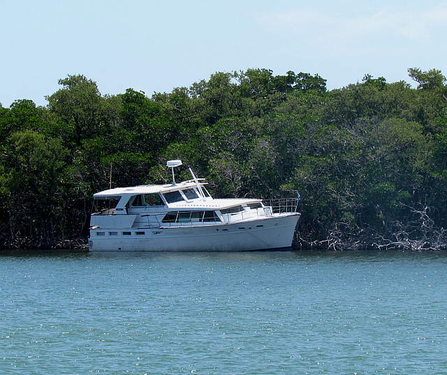
Other boats weren't anchored but just appeared to be abandoned.
........
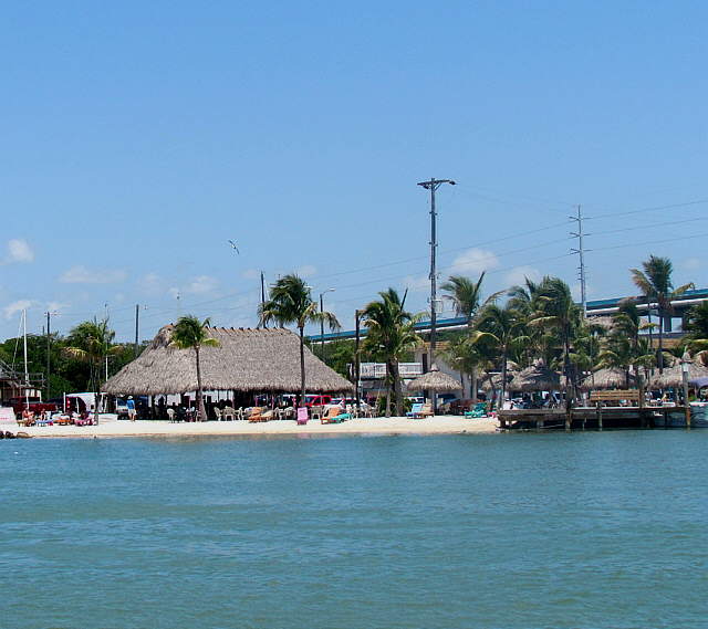
Soon we passed a nice little beach that was ...
........
... just before the bridge on the inland side and ...
........
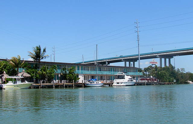
.... there was a motel, I guess, on the Keys side.
........
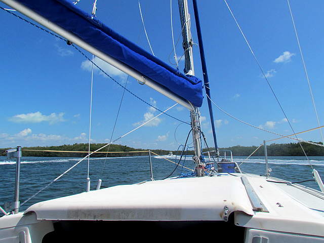
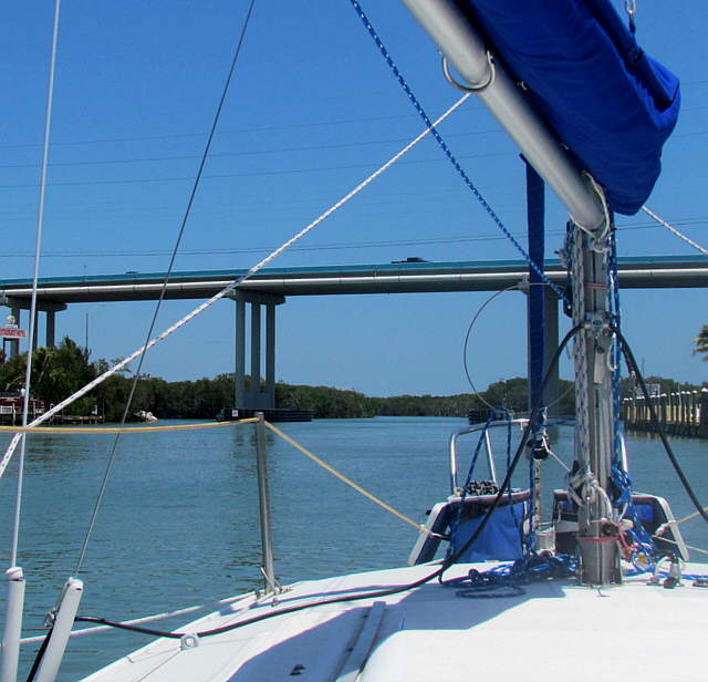
Ruth took us under the bridge and ...
........
..... into the ....
........
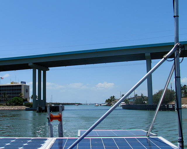
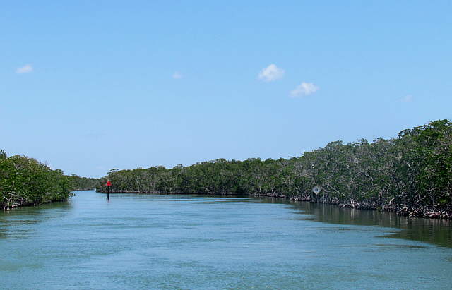
Jew Fish Creek channel on the other side.
........
This channel wound around....
........
.... and took us out into Barnes Sound where the wind had now picked up considerably. We considered going into one of the coves just past Jew Fish Creek but then decide to move on to Manatee Bay for the last night. I was an uncomfortable ride across the sound with the quartering swell, but the Mac was fine with it even if our stomachs were a little uncomfortable.
Here is a short video taken during our crossing of Barnes Sound. Click ( HERE ) for the video.
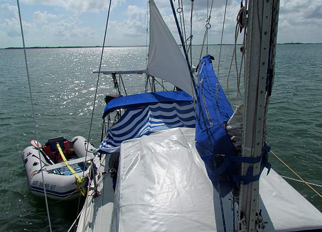
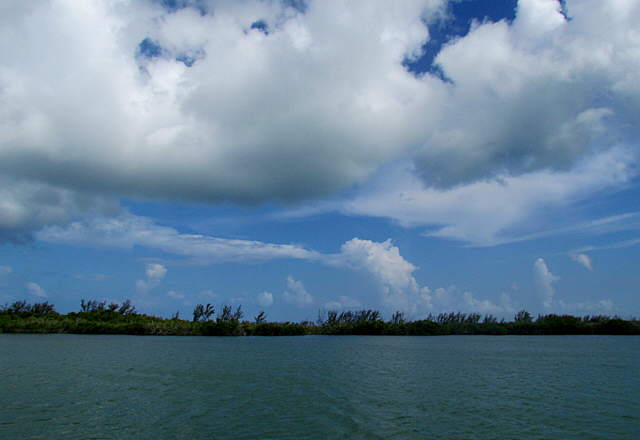
........We crossed the sound and on into our anchorage on the east side of Manatee Bay were we....
........
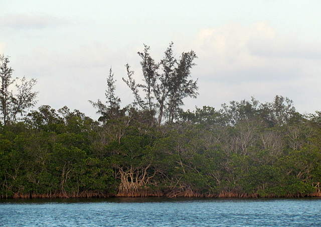
.... had some protection from the shore thanks to ...
........
... the nearby shoreline.
........
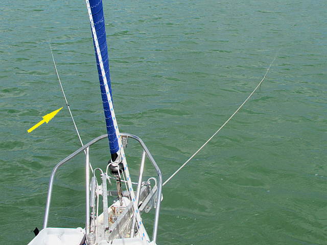
We started with two anchors set as shown above, but then went to a Bahamian Moor to again keep us from swinging into shore and the shallow water nearby if there was a wind shift during the night.
Here is a video of or Manatee Bay anchorage .... (click HERE for video).
........
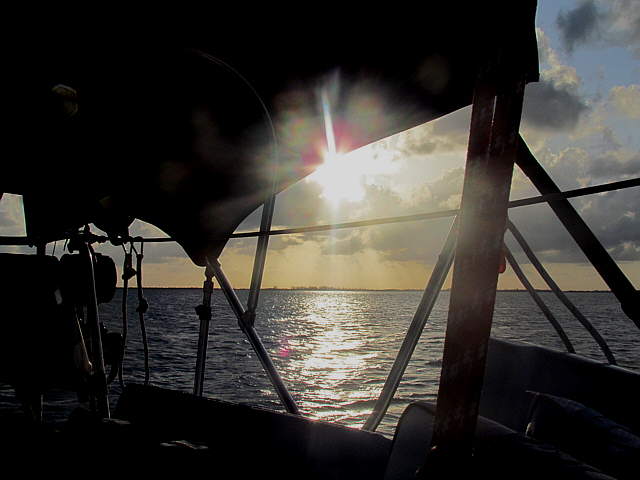
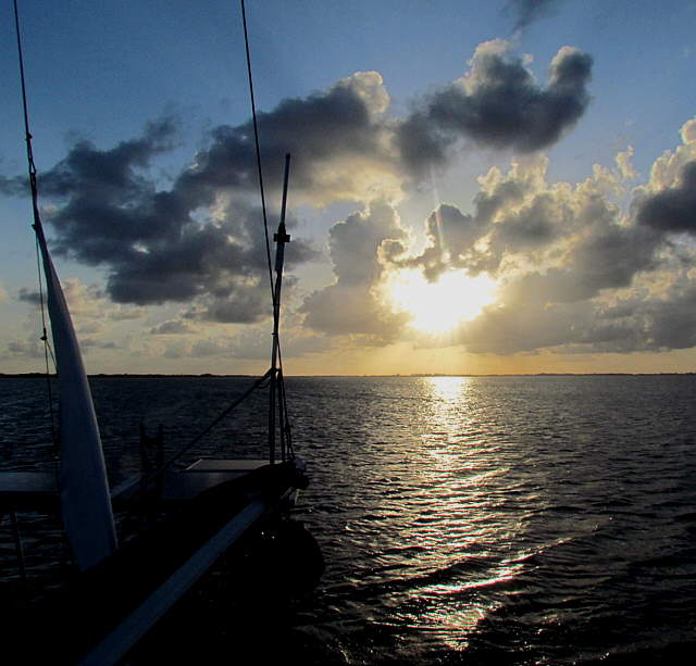
The last sunset of ...
........
.... this great trip. As per usual we really were wishing that it wouldn't end quite yet. The Mac is a small boat at 26 feet and 3200 lb. but she becomes a real home after we are aboard her for a while.