..........--- Learning to Sail Again --
...........................................-- And ---
...............-- On To the "Lock" ---
..........--- Saturday - Nov. 27th ---
Day's Starting and Stopping Points:
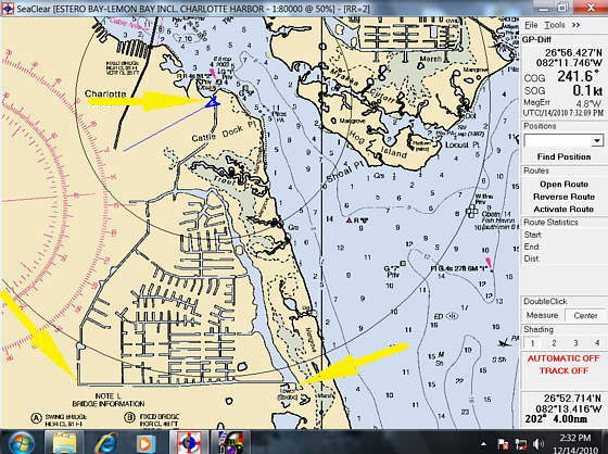
Today's Starting Waypoint = 026°52.280 N -- 082°10.384 W
Today's Ending Waypoint = 026°56.426 N -- 082°11.721 W
Night's Anchorage: A hundred yards or so from lock separating fresh water canals from saltwater bay.
Anchorage = 026°56.426 N -- 082°11.721 W
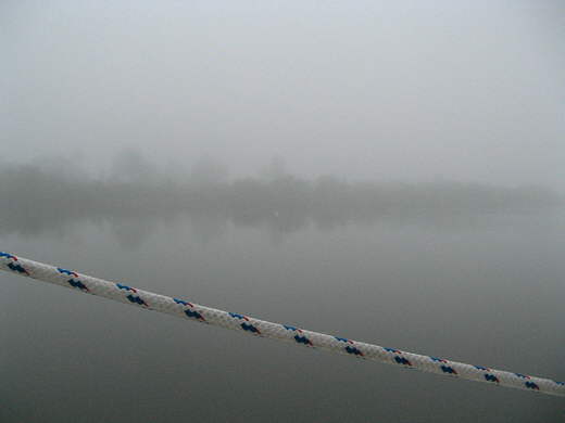
We awoke in the morning to ...
........
... fog, but it quickly...
........
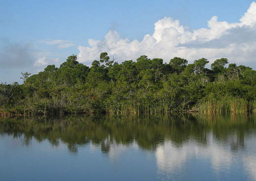
...burnt off and we were rewarded with a beautiful 360 degree...
........
.....view with the exit canal from where we were off in the distance past the bow of the boat.
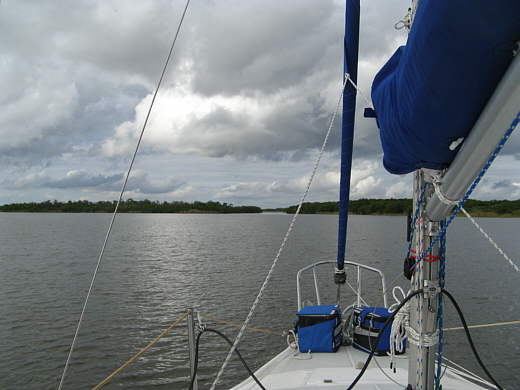
We pulled up anchor and the wind came up a bit to about 5 mph and we decided to try and sail in the lake-like area we were in. It was almost like we had never sailed before. I let out the roller furler for the first time and we tried tacking into the light wind with the main also up. At first it was like a comedy of errors and then things started to come back to us and the wind also picked up some and that helped a lot.
I immediately feel in love with the roller furler and quickly understood why they are so popular. After an hour or so of messing around another 32-34 sailboat came from the north and passed us and then he put his head sail up and soon sailed back past us and then turned and sailed south again a ways. We decided we had better get going so we dropped the sails and started motoring slowly to the north as we were in no hurry.
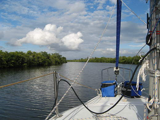
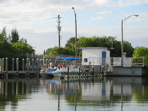
This canal system is fresh water and is separated from Charlotte Bay by a self activated lock right at the bay. The lock is to separate the fresh water from the saltwater and to keep the manatees out. I'd seen a small cove where the lock was on the bay side and figured we might be able to anchor there for the night.
The guy in the other sailboat also dropped his sails not too long after we did and also started motoring north some distance behind us. After about a mile he overtook him and we motored along side by side and started talking. I told him of our anchor plans and he advise us that there was enough room inside the lock to anchor there and that is what he would do.
Shortly after that he turned down one of the side feeder canals and ran towards his house.
........
We went a short distance towards the northwest and then turned north again and motored the last mile and a half to....
........
...the lock. We found the small area before the lock and put down our anchor there just after a small fishing boat pulled out of there. About every 20 minutes or so someone would go through the .....
........
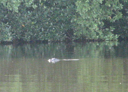
.... lock one way or another. Most were coming in returning at the end of the day back to their homes. Right as the boat above out of the lock someone yelled....
........
....alligator and we got our look at our second alligator of the trip. Another small one, but that was probably good. About the same time I happened to look..
........
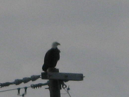
....over at the top of a power pole by the lock and there was a bald eagle. That was neat and of course there were birds everywhere catching fish nearby.
........
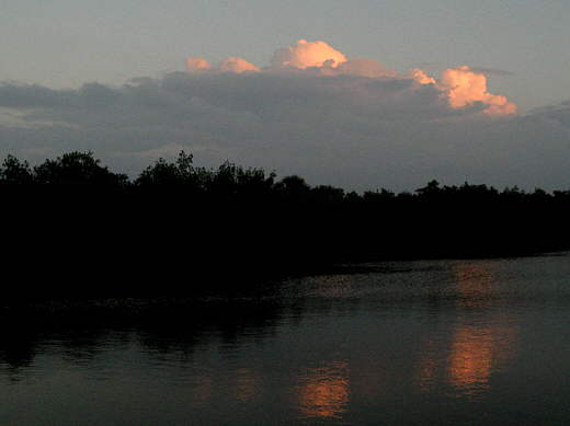
The sun set to end another nice day on the water. We were finally feeling more relaxed and rested than we had for some time, but the next day would test us some.
........
The nights anchorage was by the lock (upper yellow arrow). The small blue arrow is actually showing the boat on anchorage there and is how SeaClear shows your position when the GPS puck is attached to it.