Our MacGregor Index Page.......Southwest FL 2010 Index
...... ..........................................Previous Page...................................... Next Page
..........--- On the Water Barely ---
....................................--- Nov. 24th ---
Day's Starting and Stopping Points Under Sail:
Today's Starting Way point #1 = 026°52.337 N' -- 082°13.930 W' (The start of the voyage)
Today's Ending Way point #2 = 026°52.337 N' -- 082°13.930 W'
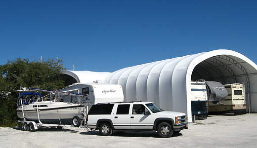
Night's Anchorage: Dock at All American Covered Boat Storage
Anchorage = 026°52.337 N' -- 082°13.930 W'
We were up at dawn and tried to get out of the RV park, but didn't make it until about 11 a.m.. On the way out we stopped and filled the 6 four gallon Reliance water containers under the V-berth. The 2 seven gallon containers were filled at home and topped off at the same time. We had kept the 4 gallon containers empty on the way down to reduce the tongue weight of the trailer.
We drove the 30 miles or so to.......
........
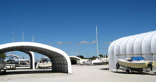
...All American Covered Boat Storage were we would put in using their ramp and then leave the Suburban and trailer there. This......
........
... place is about 7-8 miles inland from Charlotte Harbor on a......
........
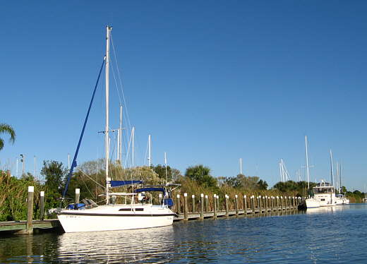
... canal that is part of a series of canals going to home sites, most of which haven't been developed. The canal from the storage facility out to the harbor is quite wide and one long part is wide enough to sail in to some degree (more on this later).
It was hot and we worked at a steady pace, but weren't ready to put the boat into the water until almost 5 and we still hadn't unloaded the inflatable. The mast was up and the boom on and I made the mistake of mounting the 2 anchors on the bow rollers.
I backed over to the.....
........
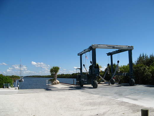
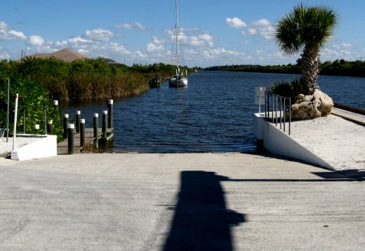
... deserted ramp (it was the day before Thanksgiving) and....
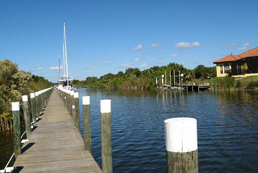
... backed the boat down the steep ramp. This was the first time in the water for the trailer with the second axle. Launching from our first launch to now had always gone real well. Not this time. I backed down to the water and had the back of the boat floating, but couldn't release the old winch cable that holds the boat on the trailer. I pulled back up on the flat and released the winch line above 12 to 14 inches and backed the boat back down. Now the boat slid back, but the bow anchors caught on the front of the bunk tubing that guides the boat onto the trailer and the winch handle was stuck behind the claw anchor so that I couldn't turn it. Very frustrating. I was able to free the Manson and put it up on the foredeck. Finally after backing the boat a few feet forward and back into the water a couple times the claw broke free of the tubing and it joined the Manson up on the foredeck. Needless to say in the future the anchors won't go on the rollers until the boat is in the water. After that fiasco the boat went in and floated free of the trailer and using the fore and aft dock lines we were able to walk it down the dock a ways and tie it off.
By now the sun was down and we proceeded to blow the Zodiac up with a 12 volt pump and that went pretty fast.
With it in the water and the Suburban/trailer parked we were ready to motor over a couple hundred yards and put an anchor down when an employee showed up to lock the ramp gate. He told us we could just stay tied to the dock for the night and in the morning if needed.
........
We were finally in the water and about 30 feet from the ramp when we ate leftover Chinese from the night before and then went to sleep.
........
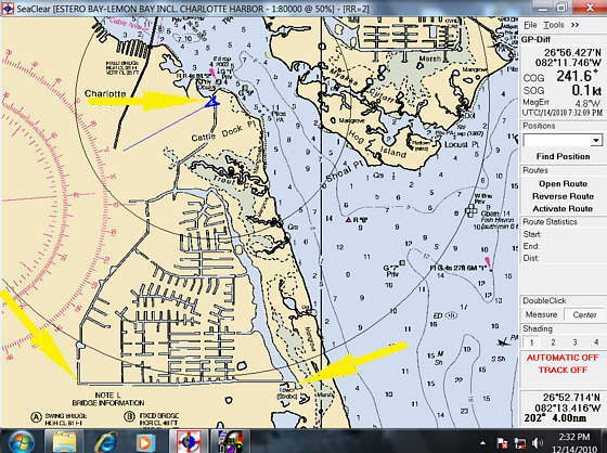
I'll include some screen shots from SeaClear II the free chart plotting program that we run on the on-board computer using the free NOAA charts that you can download.
Above the bottom left arrow points to where the ramp was where we put in. Two the right of that arrow you can see the extensive fresh water canal system that provides water front property to many existing homes and future ones. To go from the bottom left arrow and then north to the top arrow is 7-8 miles. The top arrow points to where the lock is that separates the fresh water from the salt water. We stayed the first night where the ramp is (bottom left arrow).
.................................................................................. Next Page